Reguiba night lights from space
Night Light of Reguiba (El Oued) from space (Algeria) Src. Average luminocity for 10x10km area is 28.9267% and for 50x50km: 11.195%.
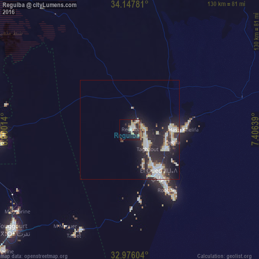
Analysis of Reguiba night lights 2016
Square area 10x10 km:
 3.11%
3.11%90-99
7.69%80-89
4.21%70-79
2.38%60-69
2.38%50-59
2.56%40-49
3.11%30-39
3.48%20-29
14.1%10-19
20.7%0-9
36.26%Square area 50x50 km:
1.41%90-99
3.14%80-89
1.42%70-79
0.87%60-69
0.93%50-59
0.65%40-49
1.2%30-39
1.37%20-29
5.52%10-19
8.72%0-9
74.77%Clear (daylight) street map image can be seen on geolist.org.
Map coordinates:
34° 8' 52.1" North, 6° 0' 0.5" East
33° 33' 50.1" North, 6° 42' 11.7" East
32° 58' 33.7" North, 7° 24' 23" East
Some cities around Reguiba sort by population:
• El Oued
27.5 km =17.1 mi,  147°
147°
• Djamaa
65.9 km =40.9 mi,  267°
267°
• Tebesbest
76.1 km =47.3 mi,  229°
229°
• Debila
23.5 km =14.6 mi,  102°
102°
• Megarine
70.6 km =43.9 mi, 234°
• Robbah
37 km =23 mi, 148°
• Sidi Amrane
64.8 km =40.3 mi,  263°
263°
• Taïbet
60.7 km =37.7 mi,  208°
208°
2483746 (p: 62,185)
Sources (retrieved 2019-11-25):
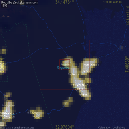
» NASA, Earths city lights 1995
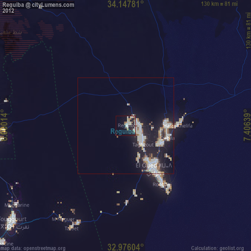
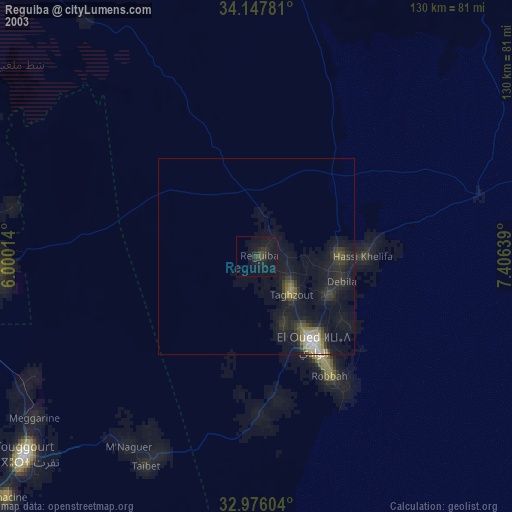
» NASA city lights 2003
» Earth at Night: Flat Maps 2012, 2016