Villa Altagracia night lights from space
Night Light of Villa Altagracia (San Cristóbal) from space (Dominican Republic) Src. Average luminocity for 10x10km area is 7.5207% and for 50x50km: 9.6983%.
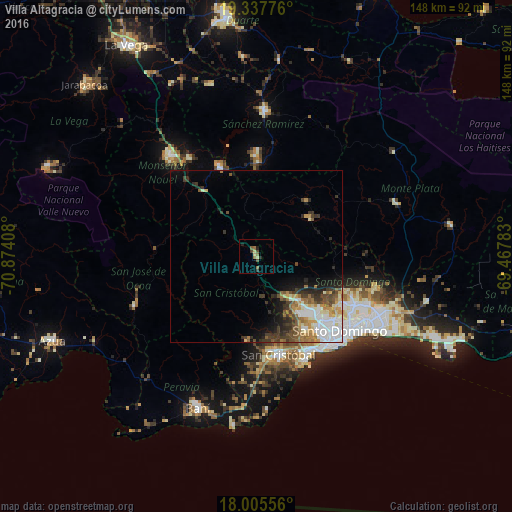
Analysis of Villa Altagracia night lights 2016
Square area 10x10 km:
 0%
0%90-99
0%80-89
2.48%70-79
0%60-69
1.86%50-59
2.27%40-49
1.65%30-39
1.65%20-29
1.86%10-19
0.62%0-9
87.6%Square area 50x50 km:
2.06%90-99
1.69%80-89
0.86%70-79
1.26%60-69
1.55%50-59
1.06%40-49
1.52%30-39
2.12%20-29
1.66%10-19
3.06%0-9
83.15%Clear (daylight) street map image can be seen on geolist.org.
Map coordinates:
19° 20' 15.9" North, 70° 52' 26.7" West
18° 40' 22.7" North, 70° 10' 15.4" West
18° 0' 20" North, 69° 28' 4.2" West
Some cities around Villa Altagracia sort by population:
• Santo Domingo Oeste
26.4 km =16.4 mi,  136°
136°
• San Cristóbal
29.5 km =18.3 mi,  165°
165°
• Cristo Rey
31.6 km =19.6 mi,  127°
127°
• Cambita Garabitos
24.5 km =15.2 mi,  186°
186°
• Yamasá
18.9 km =11.7 mi,  53°
53°
• La Agustina
31.6 km =19.6 mi, 127°
• Piedra Blanca
24.5 km =15.2 mi,  321°
321°
• Esperalvillo
21.3 km =13.2 mi,  42°
42°
3491952 (p: 40,027)
Sources (retrieved 2019-11-25):
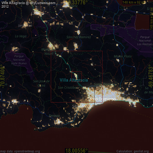
» Earth at Night: Flat Maps 2012, 2016