Ballerup night lights from space
Night Light of Ballerup (Capital Region) from space (Denmark) Src. Average luminocity for 10x10km area is 52.2129% and for 50x50km: 23.0978%.
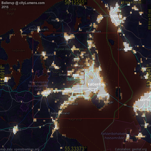
Analysis of Ballerup night lights 2016
Square area 10x10 km:
 10.53%
90-99
11%80-89
5.38%70-79
8.73%60-69
4.43%50-59
5.5%40-49
8.25%30-39
8.85%20-29
21.53%10-19
13.88%0-9
1.91%Square area 50x50 km:
5.87%90-99
5.36%80-89
2.34%70-79
1.97%60-69
2.04%50-59
2.1%40-49
2.12%30-39
2.39%20-29
5.1%10-19
13.84%0-9
56.87%Clear (daylight) street map image can be seen on geolist.org.
Map coordinates:
56° 7' 32" North, 11° 39' 36.6" East
55° 43' 53.9" North, 12° 21' 47.8" East
55° 20' 1.4" North, 13° 3' 59.1" East
Some cities around Ballerup sort by population:
• Vanløse
9.4 km =5.8 mi,  124°
124°
• Albertslund
8.3 km =5.2 mi,  179°
179°
• Rødovre
8 km =5 mi,  135°
135°
• Glostrup
7.7 km =4.8 mi,  160°
160°
• Farum
8.6 km =5.3 mi,  358°
358°
• Værløse
5.7 km =3.5 mi,  3°
3°
• Smørumnedre
4 km =2.5 mi,  287°
287°
• Måløv
3.6 km =2.2 mi,  316°
316°
2624341 (p: 40,000)
Sources (retrieved 2019-11-25):
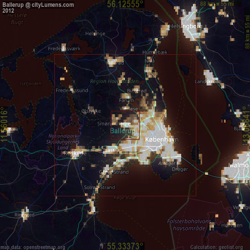
» Earth at Night: Flat Maps 2012, 2016