Hillerød night lights from space
Night Light of Hillerød (Capital Region) from space (Denmark) Src. Average luminocity for 10x10km area is 21.5602% and for 50x50km: 12.4584%.
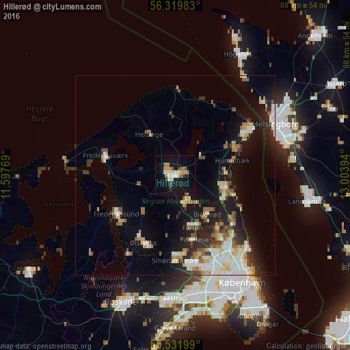
Analysis of Hillerød night lights 2016
Square area 10x10 km:
 2.76%
2.76%90-99
3.51%80-89
3.01%70-79
2.63%60-69
3.26%50-59
2.26%40-49
1.63%30-39
0.5%20-29
0%10-19
32.58%0-9
47.87%Square area 50x50 km:
2.06%90-99
2.45%80-89
1.29%70-79
1.29%60-69
1.62%50-59
1.62%40-49
1.26%30-39
1.39%20-29
2.73%10-19
8.8%0-9
75.5%Clear (daylight) street map image can be seen on geolist.org.
Map coordinates:
56° 19' 11.4" North, 11° 35' 51.7" East
55° 55' 40.5" North, 12° 18' 2.9" East
55° 31' 55.2" North, 13° 0' 14.2" East
Some cities around Hillerød sort by population:
• Hørsholm
13.5 km =8.4 mi,  112°
112°
• Birkerød
11.9 km =7.4 mi,  138°
138°
• Farum
13.8 km =8.6 mi,  164°
164°
• Lillerød
6.5 km =4 mi,  154°
154°
• Fredensborg
8.3 km =5.2 mi,  50°
50°
• Nivå
12.7 km =7.9 mi,  86°
86°
• Helsinge
12.4 km =7.7 mi,  328°
328°
• Slangerup
11.3 km =7 mi,  220°
220°
2620320 (p: 30,853)
Sources (retrieved 2019-11-25):
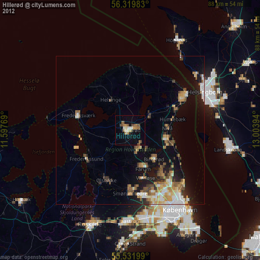
» Earth at Night: Flat Maps 2012, 2016