Slangerup night lights from space
Night Light of Slangerup (Capital Region) from space (Denmark) Src. Average luminocity for 10x10km area is 3.1504% and for 50x50km: 18.0744%.
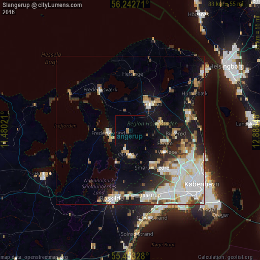
Analysis of Slangerup night lights 2016
Square area 10x10 km:
 0%
0%90-99
0%80-89
0%70-79
0%60-69
1.13%50-59
0.88%40-49
0%30-39
0%20-29
0%10-19
0%0-9
97.99%Square area 50x50 km:
4.72%90-99
4.27%80-89
1.85%70-79
1.57%60-69
1.85%50-59
1.84%40-49
1.69%30-39
1.81%20-29
2.63%10-19
8.98%0-9
68.77%Clear (daylight) street map image can be seen on geolist.org.
Map coordinates:
56° 14' 33.8" North, 11° 28' 48.8" East
55° 51' 0" North, 12° 10' 60" East
55° 27' 11.8" North, 12° 53' 11.3" East
Some cities around Slangerup sort by population:
• Hillerød
11.3 km =7 mi,  40°
40°
• Stenløse
9.1 km =5.7 mi,  174°
174°
• Farum
12 km =7.5 mi,  112°
112°
• Lillerød
10.5 km =6.5 mi,  74°
74°
• Frederikssund
7.2 km =4.5 mi,  260°
260°
• Jyllinge
11.9 km =7.4 mi,  204°
204°
• Måløv
13.7 km =8.5 mi,  140°
140°
• Ølstykke
6.3 km =3.9 mi, 196°
2613451 (p: 6,829)
Sources (retrieved 2019-11-25):
» Earth at Night: Flat Maps 2012, 2016