Hørsholm night lights from space
Night Light of Hørsholm (Capital Region) from space (Denmark) Src. Average luminocity for 10x10km area is 23.5175% and for 50x50km: 20.2025%.
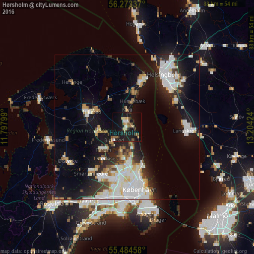
Analysis of Hørsholm night lights 2016
Square area 10x10 km:
 1.75%
1.75%90-99
2.38%80-89
4.01%70-79
2.01%60-69
3.38%50-59
4.51%40-49
2.76%30-39
2.01%20-29
1.63%10-19
42.36%0-9
33.21%Square area 50x50 km:
5.46%90-99
4.63%80-89
1.84%70-79
1.47%60-69
1.74%50-59
1.8%40-49
1.58%30-39
1.89%20-29
4.36%10-19
13.53%0-9
61.69%Clear (daylight) street map image can be seen on geolist.org.
Map coordinates:
56° 16' 24.1" North, 11° 47' 52.8" East
55° 52' 51.5" North, 12° 30' 4" East
55° 29' 4.5" North, 13° 12' 15.3" East
Some cities around Hørsholm sort by population:
• Birkerød
5.9 km =3.7 mi,  230°
230°
• Farum
11.9 km =7.4 mi, 227°
• Lillerød
9.7 km =6 mi,  266°
266°
• Humlebæk
9.2 km =5.7 mi,  12°
12°
• Trørød
5.3 km =3.3 mi,  149°
149°
• Fredensborg
12.2 km =7.6 mi,  329°
329°
• Nivå
5.9 km =3.7 mi,  2°
2°
• Stavnsholt
9.5 km =5.9 mi,  219°
219°
2619856 (p: 36,670)
Sources (retrieved 2019-11-25):
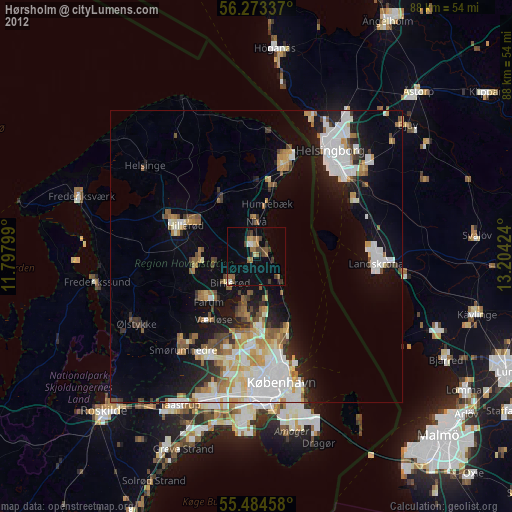
» Earth at Night: Flat Maps 2012, 2016