Lillerød night lights from space
Night Light of Lillerød (Capital Region) from space (Denmark) Src. Average luminocity for 10x10km area is 17.7982% and for 50x50km: 19%.
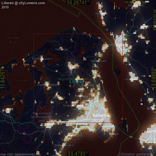
Analysis of Lillerød night lights 2016
Square area 10x10 km:
 0.5%
0.5%90-99
2.51%80-89
0.13%70-79
3.01%60-69
4.14%50-59
2.63%40-49
1.13%30-39
1.63%20-29
0%10-19
40.73%0-9
43.61%Square area 50x50 km:
5.22%90-99
4.31%80-89
1.74%70-79
1.5%60-69
1.75%50-59
1.8%40-49
1.53%30-39
1.93%20-29
3.67%10-19
10.85%0-9
65.7%Clear (daylight) street map image can be seen on geolist.org.
Map coordinates:
56° 16' 2.7" North, 11° 38' 33.6" East
55° 52' 29.9" North, 12° 20' 44.8" East
55° 28' 42.6" North, 13° 2' 56.1" East
Some cities around Lillerød sort by population:
• Hørsholm
9.7 km =6 mi,  86°
86°
• Hillerød
6.5 km =4 mi,  334°
334°
• Birkerød
6 km =3.7 mi,  120°
120°
• Farum
7.4 km =4.6 mi,  172°
172°
• Værløse
10.4 km =6.5 mi, 172°
• Fredensborg
11.7 km =7.3 mi,  17°
17°
• Slangerup
10.5 km =6.5 mi,  254°
254°
• Stavnsholt
7.7 km =4.8 mi,  150°
150°
2617658 (p: 15,359)
Sources (retrieved 2019-11-25):
» Earth at Night: Flat Maps 2012, 2016