Zwönitz night lights from space
Night Light of Zwönitz (Saxony) from space (Germany) Src. Average luminocity for 10x10km area is 0.9826% and for 50x50km: 7.4069%.
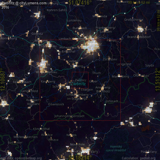
Analysis of Zwönitz night lights 2016
Square area 10x10 km:
 0%
0%90-99
0%80-89
0%70-79
0%60-69
0%50-59
0.4%40-49
0.13%30-39
0%20-29
0.27%10-19
0%0-9
99.2%Square area 50x50 km:
1.12%90-99
1.41%80-89
0.83%70-79
0.65%60-69
0.98%50-59
1.14%40-49
0.87%30-39
0.72%20-29
1.64%10-19
4.53%0-9
86.12%Clear (daylight) street map image can be seen on geolist.org.
Map coordinates:
51° 4' 27" North, 12° 6' 24.7" East
50° 37' 49" North, 12° 48' 36" East
50° 10' 55.7" North, 13° 30' 47.2" East
Some cities around Zwönitz sort by population:
• Aue
8.5 km =5.3 mi,  238°
238°
• Schwarzenberg
10.4 km =6.5 mi,  189°
189°
• Stollberg
9.1 km =5.7 mi,  346°
346°
• Lößnitz
5.6 km =3.5 mi,  260°
260°
• Thalheim
8.3 km =5.2 mi,  19°
19°
• Bad Schlema
10.2 km =6.3 mi,  252°
252°
• Hartenstein
10.5 km =6.5 mi,  289°
289°
• Lauter
9.2 km =5.7 mi,  215°
215°
2803476 (p: 11,547)
Sources (retrieved 2019-11-25):
» Earth at Night: Flat Maps 2012, 2016