Bad Schlema night lights from space
Night Light of Bad Schlema (Saxony) from space (Germany) Src. Average luminocity for 10x10km area is 14.7393% and for 50x50km: 6.9462%.
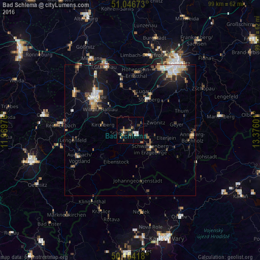
Analysis of Bad Schlema night lights 2016
Square area 10x10 km:
 2.01%
2.01%90-99
1.47%80-89
1.34%70-79
2.01%60-69
3.88%50-59
0.94%40-49
2.14%30-39
1.87%20-29
0.94%10-19
1.74%0-9
81.68%Square area 50x50 km:
0.92%90-99
1.08%80-89
0.69%70-79
0.75%60-69
0.86%50-59
1.14%40-49
0.94%30-39
0.78%20-29
1.42%10-19
4.76%0-9
86.66%Clear (daylight) street map image can be seen on geolist.org.
Map coordinates:
51° 2' 48.2" North, 11° 58' 11.1" East
50° 36' 9.3" North, 12° 40' 22.4" East
50° 9' 15" North, 13° 22' 33.6" East
Some cities around Bad Schlema sort by population:
• Aue
2.7 km =1.7 mi,  119°
119°
• Schwarzenberg
10.7 km =6.6 mi,  132°
132°
• Schneeberg
2.4 km =1.5 mi,  248°
248°
• Zwönitz
10.2 km =6.3 mi,  72°
72°
• Lößnitz
4.7 km =2.9 mi,  62°
62°
• Zschorlau
4.3 km =2.7 mi,  202°
202°
• Hartenstein
6.7 km =4.2 mi,  358°
358°
• Lauter
6.2 km =3.9 mi,  135°
135°
2838671 (p: 5,540)
Sources (retrieved 2019-11-25):
» Earth at Night: Flat Maps 2012, 2016