Meerbusch night lights from space
Night Light of Meerbusch (North Rhine-Westphalia) from space (Germany) Src. Average luminocity for 10x10km area is 59.1877% and for 50x50km: 41.9822%.
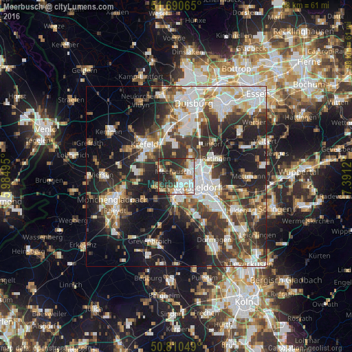
Analysis of Meerbusch night lights 2016
Square area 10x10 km:
 15.83%
90-99
15.13%80-89
2.94%70-79
8.54%60-69
6.16%50-59
3.64%40-49
7.56%30-39
11.62%20-29
23.67%10-19
4.9%0-9
0%Square area 50x50 km:
8.87%90-99
9.6%80-89
3.56%70-79
3.91%60-69
4.29%50-59
5.52%40-49
6.14%30-39
8.91%20-29
12.56%10-19
17.55%0-9
19.11%Clear (daylight) street map image can be seen on geolist.org.
Map coordinates:
51° 41' 26.3" North, 5° 59' 5.8" East
51° 15' 9.6" North, 6° 41' 17.1" East
50° 48' 37.8" North, 7° 23' 28.3" East
Some cities around Meerbusch sort by population:
• Düsseldorf
7 km =4.3 mi,  119°
119°
• Krefeld
13.2 km =8.2 mi,  314°
314°
• Neuss
6.1 km =3.8 mi,  181°
181°
• Ratingen
12.3 km =7.6 mi,  66°
66°
• Willich
9.9 km =6.2 mi,  277°
277°
• Neubrück
13.6 km =8.5 mi,  194°
194°
• Kaarst
5.5 km =3.4 mi,  241°
241°
• Düsseldorf-Pempelfort
7.1 km =4.4 mi,  103°
103°
2872504 (p: 54,826)
Sources (retrieved 2019-11-25):
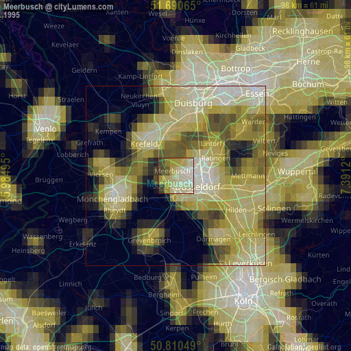
» NASA, Earths city lights 1995
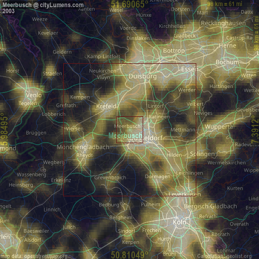
» NASA city lights 2003
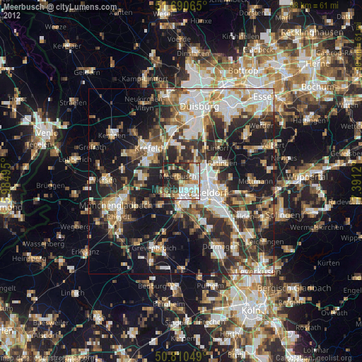
» Earth at Night: Flat Maps 2012, 2016