Wentorf bei Hamburg night lights from space
Night Light of Wentorf bei Hamburg (Schleswig-Holstein) from space (Germany) Src. Average luminocity for 10x10km area is 31.1362% and for 50x50km: 20.5592%.
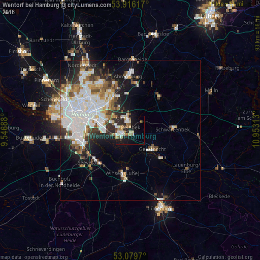
Analysis of Wentorf bei Hamburg night lights 2016
Square area 10x10 km:
 6.22%
6.22%90-99
5.95%80-89
3.97%70-79
2.91%60-69
3.7%50-59
4.89%40-49
1.46%30-39
1.32%20-29
13.1%10-19
21.03%0-9
35.45%Square area 50x50 km:
6.8%90-99
4.71%80-89
1.3%70-79
1.63%60-69
2.08%50-59
1.96%40-49
2.34%30-39
1.97%20-29
3.65%10-19
7.62%0-9
65.95%Clear (daylight) street map image can be seen on geolist.org.
Map coordinates:
53° 54' 58.2" North, 9° 32' 48.8" East
53° 30' 0" North, 10° 15' 0" East
53° 4' 46.9" North, 10° 57' 11.3" East
Some cities around Wentorf bei Hamburg sort by population:
• Marienthal
13.3 km =8.3 mi,  303°
303°
• Bergedorf
2.2 km =1.4 mi,  219°
219°
• Geesthacht
11.1 km =6.9 mi,  130°
130°
• Reinbek
1.9 km =1.2 mi,  357°
357°
• Glinde
5.9 km =3.7 mi,  326°
326°
• Barsbüttel
9.2 km =5.7 mi,  323°
323°
• Rothenburgsort
14.4 km =8.9 mi,  285°
285°
• Oststeinbek
7.2 km =4.5 mi,  312°
312°
2811031 (p: 12,104)
Sources (retrieved 2019-11-25):
» Earth at Night: Flat Maps 2012, 2016