Bergedorf night lights from space
Night Light of Bergedorf (Hamburg) from space (Germany) Src. Average luminocity for 10x10km area is 30.1733% and for 50x50km: 21.036%.
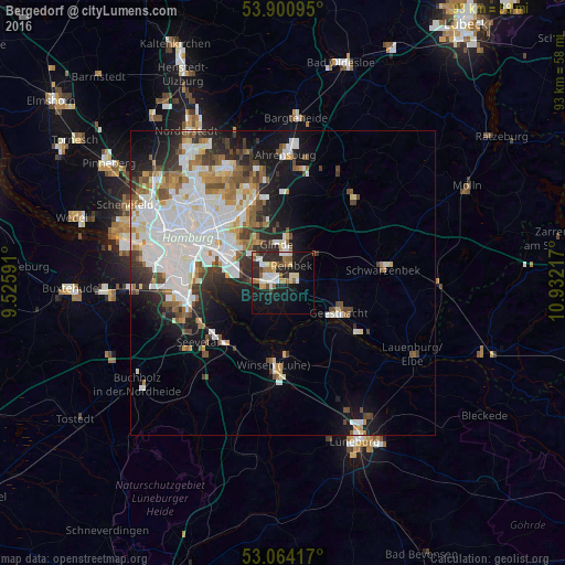
Analysis of Bergedorf night lights 2016
Square area 10x10 km:
 5.56%
5.56%90-99
5.16%80-89
3.97%70-79
2.51%60-69
4.76%50-59
4.23%40-49
1.46%30-39
1.32%20-29
11.24%10-19
25.13%0-9
34.66%Square area 50x50 km:
6.92%90-99
4.81%80-89
1.35%70-79
1.67%60-69
2.19%50-59
2.01%40-49
2.34%30-39
2.11%20-29
3.8%10-19
7.69%0-9
65.12%Clear (daylight) street map image can be seen on geolist.org.
Map coordinates:
53° 54' 3.4" North, 9° 31' 33.3" East
53° 29' 4.6" North, 10° 13' 44.5" East
53° 3' 51" North, 10° 55' 55.8" East
Some cities around Bergedorf sort by population:
• Marienthal
13.3 km =8.3 mi,  313°
313°
• Geesthacht
11.3 km =7 mi,  118°
118°
• Reinbek
3.8 km =2.4 mi,  19°
19°
• Glinde
6.9 km =4.3 mi,  344°
344°
• Barsbüttel
10 km =6.2 mi, 335°
• Wentorf bei Hamburg
2.2 km =1.4 mi,  39°
39°
• Stelle
13.6 km =8.5 mi,  214°
214°
• Oststeinbek
7.6 km =4.7 mi,  328°
328°
7290243 (p: 119,665)
Sources (retrieved 2019-11-25):
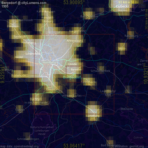
» NASA, Earths city lights 1995
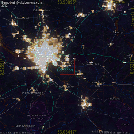
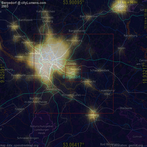
» NASA city lights 2003
» Earth at Night: Flat Maps 2012, 2016