Marienthal night lights from space
Night Light of Marienthal (Hamburg) from space (Germany) Src. Average luminocity for 10x10km area is 88.9609% and for 50x50km: 24.4127%.
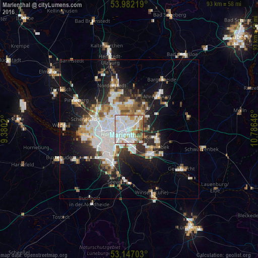
Analysis of Marienthal night lights 2016
Square area 10x10 km:
 36.87%
90-99
33.84%80-89
5.05%70-79
8.46%60-69
5.56%50-59
5.93%40-49
2.02%30-39
2.27%20-29
0%10-19
0%0-9
0%Square area 50x50 km:
7.16%90-99
5.38%80-89
1.64%70-79
2.11%60-69
2.67%50-59
2.41%40-49
2.81%30-39
2.43%20-29
4.64%10-19
11.31%0-9
57.44%Clear (daylight) street map image can be seen on geolist.org.
Map coordinates:
53° 58' 55.9" North, 9° 22' 48.7" East
53° 34' 0" North, 10° 4' 60" East
53° 8' 49.3" North, 10° 47' 11.3" East
Some cities around Marienthal sort by population:
• Hamburg
4.6 km =2.9 mi,  282°
282°
• Wandsbek
1.9 km =1.2 mi,  359°
359°
• Hamburg-Mitte
4.8 km =3 mi,  247°
247°
• Farmsen-Berne
5 km =3.1 mi,  28°
28°
• Steilshoop
5.1 km =3.2 mi,  341°
341°
• St. Georg
4.9 km =3 mi, 254°
• Rothenburgsort
4.5 km =2.8 mi,  218°
218°
• Borgfelde
3.5 km =2.2 mi, 247°
2911287 (p: 287,101)
Sources (retrieved 2019-11-25):
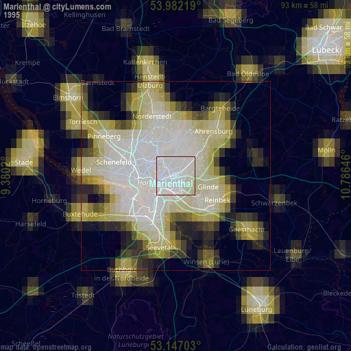
» NASA, Earths city lights 1995
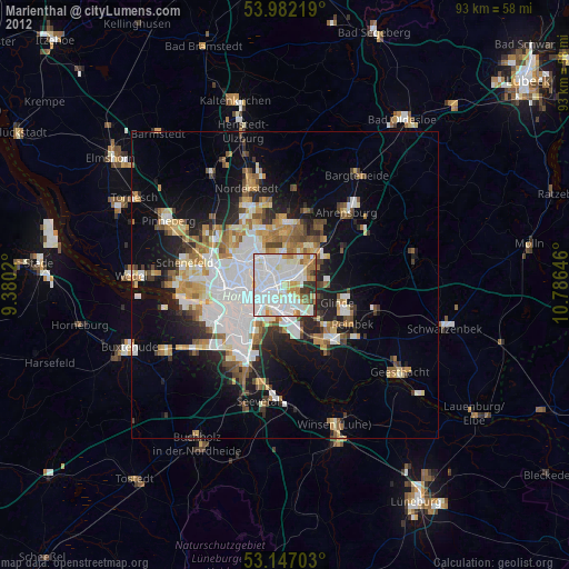
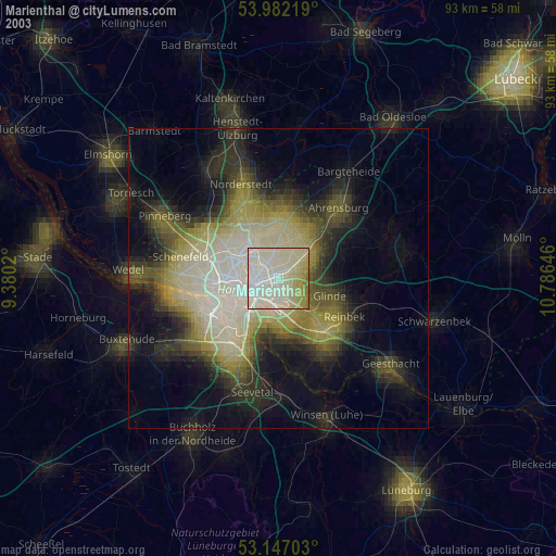
» NASA city lights 2003
» Earth at Night: Flat Maps 2012, 2016