Reinbek night lights from space
Night Light of Reinbek (Schleswig-Holstein) from space (Germany) Src. Average luminocity for 10x10km area is 33.8201% and for 50x50km: 20.726%.
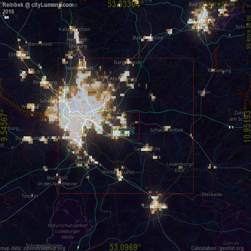
Analysis of Reinbek night lights 2016
Square area 10x10 km:
 6.75%
6.75%90-99
6.75%80-89
4.63%70-79
3.04%60-69
3.84%50-59
5.42%40-49
2.38%30-39
1.19%20-29
16.93%10-19
15.48%0-9
33.6%Square area 50x50 km:
6.78%90-99
4.78%80-89
1.32%70-79
1.64%60-69
2.14%50-59
1.97%40-49
2.3%30-39
2.01%20-29
3.68%10-19
7.8%0-9
65.58%Clear (daylight) street map image can be seen on geolist.org.
Map coordinates:
53° 55' 58.9" North, 9° 32' 44.4" East
53° 31' 1.3" North, 10° 14' 55.7" East
53° 5' 48.8" North, 10° 57' 6.9" East
Some cities around Reinbek sort by population:
• Marienthal
12.2 km =7.6 mi,  296°
296°
• Bergedorf
3.8 km =2.4 mi,  199°
199°
• Farmsen-Berne
13.1 km =8.1 mi,  319°
319°
• Geesthacht
12.4 km =7.7 mi,  136°
136°
• Glinde
4.4 km =2.7 mi,  313°
313°
• Barsbüttel
7.7 km =4.8 mi, 315°
• Wentorf bei Hamburg
1.9 km =1.2 mi,  177°
177°
• Oststeinbek
6 km =3.7 mi, 299°
2848845 (p: 25,261)
Sources (retrieved 2019-11-25):
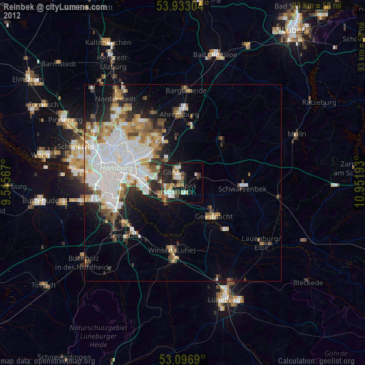
» Earth at Night: Flat Maps 2012, 2016