Rothenburgsort night lights from space
Night Light of Rothenburgsort (Hamburg) from space (Germany) Src. Average luminocity for 10x10km area is 90.9722% and for 50x50km: 24.7022%.
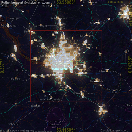
Analysis of Rothenburgsort night lights 2016
Square area 10x10 km:
 51.46%
90-99
29.37%80-89
2.25%70-79
4.37%60-69
2.25%50-59
2.12%40-49
2.65%30-39
5.16%20-29
0.4%10-19
0%0-9
0%Square area 50x50 km:
7.18%90-99
5.47%80-89
1.7%70-79
2.19%60-69
2.73%50-59
2.42%40-49
2.81%30-39
2.41%20-29
4.64%10-19
11.22%0-9
57.23%Clear (daylight) street map image can be seen on geolist.org.
Map coordinates:
53° 57' 3" North, 9° 20' 15.7" East
53° 32' 6" North, 10° 2' 27" East
53° 6' 54.2" North, 10° 44' 38.2" East
Some cities around Rothenburgsort sort by population:
• Hamburg
4.8 km =3 mi,  339°
339°
• Wandsbek
6.1 km =3.8 mi,  27°
27°
• Marienthal
4.5 km =2.8 mi,  38°
38°
• Hamburg-Mitte
2.3 km =1.4 mi,  316°
316°
• St. Pauli
5.6 km =3.5 mi,  295°
295°
• St. Georg
2.9 km =1.8 mi, 319°
• Neustadt
4.1 km =2.5 mi, 297°
• Borgfelde
2.2 km =1.4 mi,  349°
349°
6694704 (p: 8,938)
Sources (retrieved 2019-11-25):
» Earth at Night: Flat Maps 2012, 2016