Neustadt an der Donau night lights from space
Night Light of Neustadt an der Donau (Bavaria) from space (Germany) Src. Average luminocity for 10x10km area is 11.0213% and for 50x50km: 5.3053%.
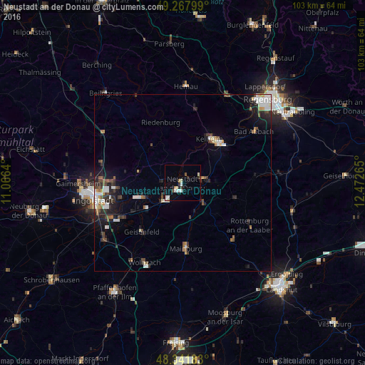
Analysis of Neustadt an der Donau night lights 2016
Square area 10x10 km:
 1.7%
1.7%90-99
2.98%80-89
1.56%70-79
0%60-69
1.14%50-59
0.57%40-49
1.14%30-39
1.28%20-29
0.57%10-19
1.42%0-9
87.64%Square area 50x50 km:
0.97%90-99
0.98%80-89
0.33%70-79
0.4%60-69
0.47%50-59
0.62%40-49
0.89%30-39
0.8%20-29
1.5%10-19
2.65%0-9
90.4%Clear (daylight) street map image can be seen on geolist.org.
Map coordinates:
49° 16' 4.8" North, 11° 3' 59" East
48° 48' 25.4" North, 11° 46' 10.3" East
48° 20' 30.6" North, 12° 28' 21.5" East
Some cities around Neustadt an der Donau sort by population:
• Kelheim
14.9 km =9.3 mi,  34°
34°
• Mainburg
18.4 km =11.4 mi,  177°
177°
• Abensberg
6 km =3.7 mi,  79°
79°
• Geisenfeld
17.9 km =11.1 mi,  220°
220°
• Vohburg an der Donau
11.8 km =7.3 mi,  249°
249°
• Riedenburg
18.4 km =11.4 mi,  341°
341°
• Saal
15.8 km =9.8 mi,  48°
48°
• Langquaid
20.7 km =12.9 mi,  85°
85°
2864056 (p: 12,899)
Sources (retrieved 2019-11-25):
» Earth at Night: Flat Maps 2012, 2016