Koblenz night lights from space
Night Light of Koblenz (Rheinland-Pfalz) from space (Germany) Src. Average luminocity for 10x10km area is 43.9314% and for 50x50km: 7.7391%.
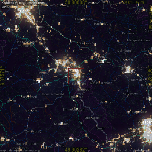
Analysis of Koblenz night lights 2016
Square area 10x10 km:
 7.14%
7.14%90-99
8.82%80-89
2.38%70-79
5.32%60-69
7.14%50-59
9.66%40-49
7%30-39
4.48%20-29
14.15%10-19
27.03%0-9
6.86%Square area 50x50 km:
0.86%90-99
1.07%80-89
0.69%70-79
0.66%60-69
1.23%50-59
1.32%40-49
1.45%30-39
1.05%20-29
2.44%10-19
4.74%0-9
84.49%Clear (daylight) street map image can be seen on geolist.org.
Map coordinates:
50° 48' 0.3" North, 6° 52' 32.6" East
50° 21' 12.9" North, 7° 34' 43.8" East
49° 54' 10.2" North, 8° 16' 55.1" East
Some cities around Koblenz sort by population:
• Neuwied
11.8 km =7.3 mi,  319°
319°
• Lahnstein
6.5 km =4 mi,  155°
155°
• Bendorf
7.7 km =4.8 mi,  0°
0°
• Mülheim-Kärlich
6.7 km =4.2 mi,  301°
301°
• Höhr-Grenzhausen
11.1 km =6.9 mi,  35°
35°
• Bad Ems
9.8 km =6.1 mi,  101°
101°
• Vallendar
5.7 km =3.5 mi,  34°
34°
• Weißenthurm
11.5 km =7.1 mi,  307°
307°
2886946 (p: 107,319)
Sources (retrieved 2019-11-25):
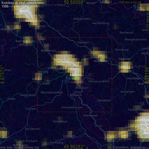
» NASA, Earths city lights 1995
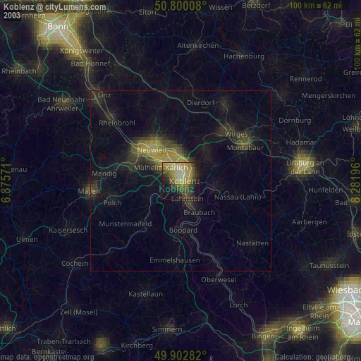
» NASA city lights 2003
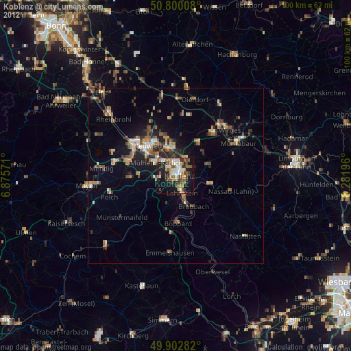
» Earth at Night: Flat Maps 2012, 2016