Neuwied night lights from space
Night Light of Neuwied (Rheinland-Pfalz) from space (Germany) Src. Average luminocity for 10x10km area is 45.9762% and for 50x50km: 8.4201%.
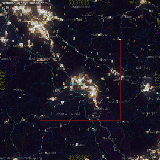
Analysis of Neuwied night lights 2016
Square area 10x10 km:
 7.42%
7.42%90-99
7.56%80-89
4.9%70-79
4.62%60-69
7.98%50-59
7.7%40-49
8.96%30-39
5.04%20-29
23.11%10-19
21.71%0-9
0.98%Square area 50x50 km:
0.81%90-99
1.05%80-89
0.78%70-79
0.75%60-69
1.35%50-59
1.45%40-49
1.64%30-39
1.29%20-29
2.56%10-19
5.47%0-9
82.86%Clear (daylight) street map image can be seen on geolist.org.
Map coordinates:
50° 52' 45.7" North, 6° 46' 2.8" East
50° 26' 1" North, 7° 28' 14.1" East
49° 59' 1" North, 8° 10' 25.3" East
Some cities around Neuwied sort by population:
• Koblenz
11.8 km =7.3 mi,  139°
139°
• Andernach
4.7 km =2.9 mi,  266°
266°
• Bendorf
7.8 km =4.8 mi,  98°
98°
• Mülheim-Kärlich
5.8 km =3.6 mi,  159°
159°
• Vallendar
11.7 km =7.3 mi,  111°
111°
• Weißenthurm
2.3 km =1.4 mi,  217°
217°
• Plaidt
7.2 km =4.5 mi,  230°
230°
• Ochtendung
11.2 km =7 mi,  213°
213°
2863840 (p: 66,805)
Sources (retrieved 2019-11-25):
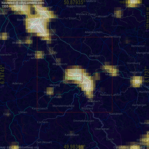
» NASA, Earths city lights 1995
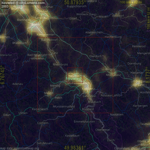
» NASA city lights 2003
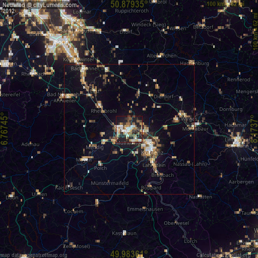
» Earth at Night: Flat Maps 2012, 2016