Bad Ems night lights from space
Night Light of Bad Ems (Rheinland-Pfalz) from space (Germany) Src. Average luminocity for 10x10km area is 4.0308% and for 50x50km: 7.2342%.
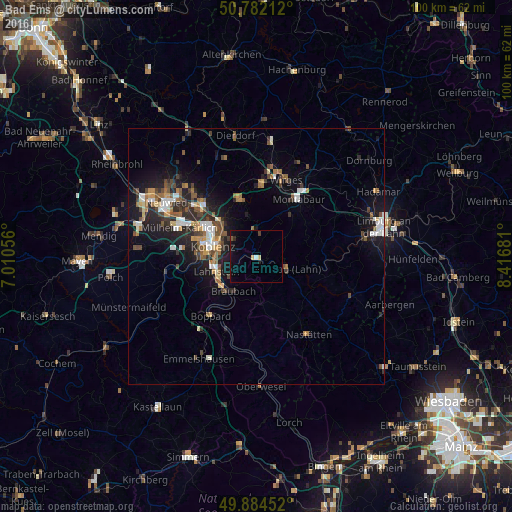
Analysis of Bad Ems night lights 2016
Square area 10x10 km:
 0%
0%90-99
0.56%80-89
1.12%70-79
0%60-69
0%50-59
0.56%40-49
0.42%30-39
0.42%20-29
0.56%10-19
3.64%0-9
92.72%Square area 50x50 km:
0.9%90-99
1.12%80-89
0.6%70-79
0.58%60-69
1.04%50-59
1.18%40-49
1.31%30-39
0.9%20-29
2.32%10-19
5.46%0-9
84.57%Clear (daylight) street map image can be seen on geolist.org.
Map coordinates:
50° 46' 55.6" North, 7° 0' 38" East
50° 20' 7.6" North, 7° 42' 49.3" East
49° 53' 4.3" North, 8° 25' 0.5" East
Some cities around Bad Ems sort by population:
• Koblenz
9.8 km =6.1 mi,  281°
281°
• Lahnstein
7.9 km =4.9 mi,  240°
240°
• Bendorf
13.6 km =8.5 mi,  315°
315°
• Montabaur
13.6 km =8.5 mi,  34°
34°
• Höhr-Grenzhausen
11.5 km =7.1 mi,  343°
343°
• Vallendar
9.2 km =5.7 mi, 316°
• Ransbach-Baumbach
14.4 km =8.9 mi,  4°
4°
• Nassau
6.6 km =4.1 mi,  110°
110°
2953507 (p: 9,735)
Sources (retrieved 2019-11-25):
» Earth at Night: Flat Maps 2012, 2016