Treuchtlingen night lights from space
Night Light of Treuchtlingen (Bavaria) from space (Germany) Src. Average luminocity for 10x10km area is 1.9446% and for 50x50km: 1.4302%.
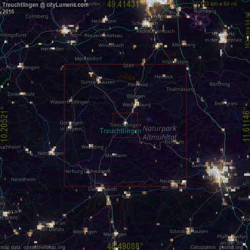
Analysis of Treuchtlingen night lights 2016
Square area 10x10 km:
 0.28%
0.28%90-99
0.28%80-89
0%70-79
0%60-69
0.28%50-59
0.28%40-49
0.57%30-39
0.57%20-29
0.28%10-19
0.85%0-9
96.59%Square area 50x50 km:
0.1%90-99
0.17%80-89
0.2%70-79
0.14%60-69
0.27%50-59
0.27%40-49
0.29%30-39
0.28%20-29
0.27%10-19
0.18%0-9
97.84%Clear (daylight) street map image can be seen on geolist.org.
Map coordinates:
49° 24' 51.5" North, 10° 12' 18.8" East
48° 57' 17" North, 10° 54' 30" East
48° 29' 27.2" North, 11° 36' 41.3" East
Some cities around Treuchtlingen sort by population:
• Weißenburg in Bayern
9.7 km =6 mi,  28°
28°
• Gunzenhausen
21 km =13 mi,  328°
328°
• Eichstätt
22.3 km =13.9 mi,  109°
109°
• Pleinfeld
17.5 km =10.9 mi,  17°
17°
• Wemding
16.1 km =10 mi,  236°
236°
• Oettingen in Bayern
22.2 km =13.8 mi,  269°
269°
• Spalt
24.6 km =15.3 mi,  2°
2°
• Rennertshofen
23.9 km =14.9 mi,  155°
155°
2821254 (p: 13,141)
Sources (retrieved 2019-11-25):
» Earth at Night: Flat Maps 2012, 2016