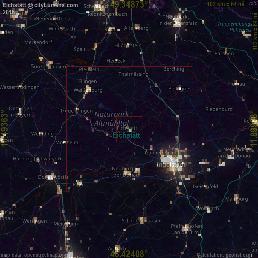
Eichstätt night lights from space
Night Light of Eichstätt (Bavaria) from space (Germany) Src. Average luminocity for 10x10km area is 1.2145% and for 50x50km: 4.4286%.
Analysis of Eichstätt night lights 2016
Square area 10x10 km:
 0%
0%90-99
0%80-89
0%70-79
0.14%60-69
0.43%50-59
0%40-49
1.14%30-39
0.57%20-29
0%10-19
0.43%0-9
97.3%Square area 50x50 km:
0.75%90-99
0.69%80-89
0.3%70-79
0.32%60-69
0.46%50-59
0.58%40-49
0.89%30-39
0.82%20-29
1.51%10-19
2.8%0-9
90.89%Clear (daylight) street map image can be seen on geolist.org.
Map coordinates:
49° 20' 55.4" North, 10° 29' 37.1" East
48° 53' 18.7" North, 11° 11' 48.3" East
48° 25' 26.7" North, 11° 53' 59.6" East
Some cities around Eichstätt sort by population:
• Ingolstadt
21.6 km =13.4 mi,  129°
129°
• Neuburg an der Donau
17.4 km =10.8 mi,  182°
182°
• Weißenburg in Bayern
22.8 km =14.2 mi,  314°
314°
• Treuchtlingen
22.3 km =13.9 mi,  289°
289°
• Gaimersheim
15.5 km =9.6 mi, 125°
• Greding
21.1 km =13.1 mi,  33°
33°
• Thalmässing
22.3 km =13.9 mi,  4°
4°
• Rennertshofen
18.1 km =11.2 mi,  217°
217°
2932069 (p: 13,125)
Sources (retrieved 2019-11-25):
» Earth at Night: Flat Maps 2012, 2016