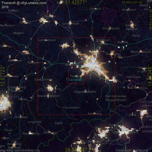
Tharandt night lights from space
Night Light of Tharandt (Saxony) from space (Germany) Src. Average luminocity for 10x10km area is 10.8035% and for 50x50km: 10.503%.
Analysis of Tharandt night lights 2016
Square area 10x10 km:
 1.47%
1.47%90-99
2.27%80-89
0.53%70-79
0.53%60-69
1.87%50-59
1.34%40-49
0.53%30-39
1.07%20-29
2.54%10-19
11.63%0-9
76.2%Square area 50x50 km:
1.84%90-99
1.91%80-89
0.82%70-79
1.23%60-69
1.28%50-59
1.55%40-49
1.34%30-39
1.57%20-29
2.25%10-19
6.77%0-9
79.47%Clear (daylight) street map image can be seen on geolist.org.
Map coordinates:
51° 25' 32.8" North, 12° 52' 38" East
50° 59' 6.9" North, 13° 34' 49.3" East
50° 32' 25.8" North, 14° 17' 0.5" East
Some cities around Tharandt sort by population:
• Dresden
13.2 km =8.2 mi,  56°
56°
• Freital
5.1 km =3.2 mi,  69°
69°
• Radebeul
14.6 km =9.1 mi,  22°
22°
• Coswig
16.3 km =10.1 mi,  0°
0°
• Wilsdruff
8 km =5 mi,  337°
337°
• Dippoldiswalde
11.7 km =7.3 mi,  147°
147°
• Bannewitz
9.6 km =6 mi,  84°
84°
• Klipphausen
10.4 km =6.5 mi,  333°
333°
2822939 (p: 5,624)
Sources (retrieved 2019-11-25):
» Earth at Night: Flat Maps 2012, 2016