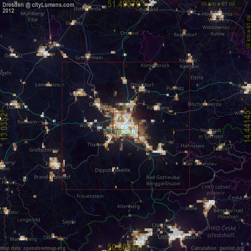
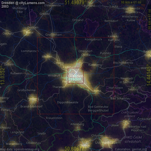
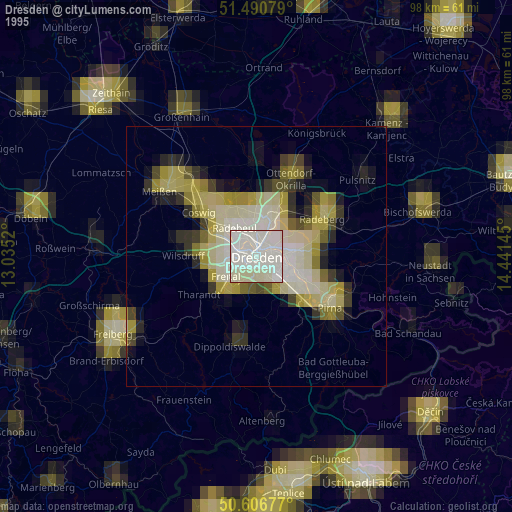
Dresden night lights from space
Night Light of Dresden (Saxony) from space (Germany) Src. Average luminocity for 10x10km area is 80.6337% and for 50x50km: 10.2973%.

Analysis of Dresden night lights 2016
Square area 10x10 km:
 27.81%
90-99
26.47%80-89
7.62%70-79
9.89%60-69
5.75%50-59
7.49%40-49
4.14%30-39
8.29%20-29
2.54%10-19
0%0-9
0%Square area 50x50 km:
1.82%90-99
1.84%80-89
0.78%70-79
1.25%60-69
1.18%50-59
1.48%40-49
1.3%30-39
1.69%20-29
2.28%10-19
6.31%0-9
80.07%Clear (daylight) street map image can be seen on geolist.org.
Map coordinates:
51° 29' 26.8" North, 13° 2' 6.7" East
51° 3' 3.2" North, 13° 44' 18" East
50° 36' 24.4" North, 14° 26' 29.2" East
Some cities around Dresden sort by population:
• Freital
8.3 km =5.2 mi,  228°
228°
• Radebeul
8.2 km =5.1 mi,  318°
318°
• Radeberg
13.9 km =8.6 mi,  61°
61°
• Heidenau
12.6 km =7.8 mi,  134°
134°
• Bannewitz
6.6 km =4.1 mi,  192°
192°
• Moritzburg
12.7 km =7.9 mi,  341°
341°
• Dohna
13.5 km =8.4 mi,  141°
141°
• Tharandt
13.2 km =8.2 mi,  236°
236°
2935022 (p: 486,854)
Sources (retrieved 2019-11-25):
» NASA, Earths city lights 1995
» NASA city lights 2003
» Earth at Night: Flat Maps 2012, 2016