Radebeul night lights from space
Night Light of Radebeul (Saxony) from space (Germany) Src. Average luminocity for 10x10km area is 38.2874% and for 50x50km: 11.0868%.
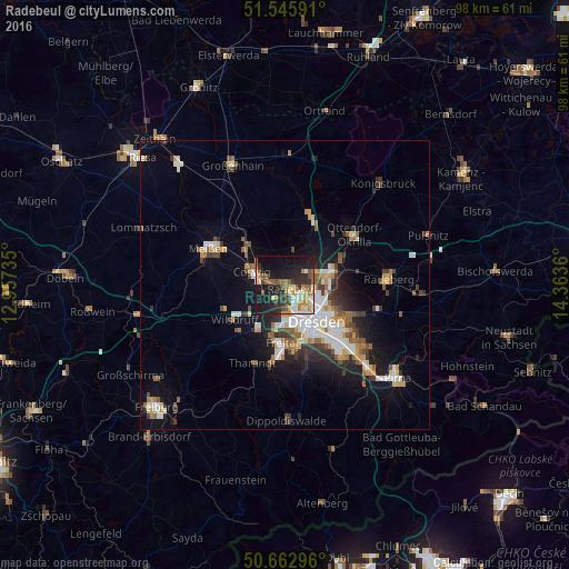
Analysis of Radebeul night lights 2016
Square area 10x10 km:
 4.95%
4.95%90-99
6.42%80-89
2.81%70-79
6.15%60-69
5.21%50-59
7.75%40-49
5.21%30-39
5.75%20-29
12.3%10-19
32.89%0-9
10.56%Square area 50x50 km:
1.93%90-99
2.03%80-89
0.88%70-79
1.35%60-69
1.25%50-59
1.59%40-49
1.32%30-39
1.69%20-29
2.33%10-19
6.93%0-9
78.71%Clear (daylight) street map image can be seen on geolist.org.
Map coordinates:
51° 32' 45.3" North, 12° 57' 26.5" East
51° 6' 23.5" North, 13° 39' 37.7" East
50° 39' 46.7" North, 14° 21' 49" East
Some cities around Radebeul sort by population:
• Dresden
8.2 km =5.1 mi,  138°
138°
• Freital
11.7 km =7.3 mi,  184°
184°
• Coswig
6.1 km =3.8 mi,  297°
297°
• Wilsdruff
10.6 km =6.6 mi,  234°
234°
• Bannewitz
13.2 km =8.2 mi,  162°
162°
• Weinböhla
9.4 km =5.8 mi,  315°
315°
• Moritzburg
6 km =3.7 mi,  13°
13°
• Klipphausen
11.1 km =6.9 mi,  247°
247°
2851077 (p: 32,643)
Sources (retrieved 2019-11-25):
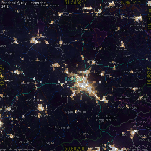
» Earth at Night: Flat Maps 2012, 2016