Tegel night lights from space
Night Light of Tegel (Berlin) from space (Germany) Src. Average luminocity for 10x10km area is 75.7817% and for 50x50km: 36.2473%.
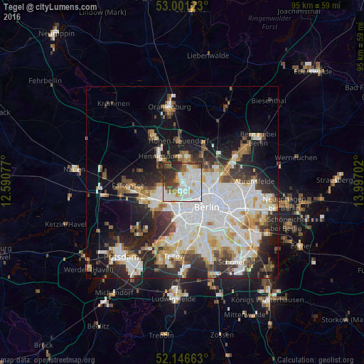
Analysis of Tegel night lights 2016
Square area 10x10 km:
 29.76%
90-99
25.93%80-89
2.51%70-79
5.69%60-69
4.23%50-59
6.08%40-49
6.35%30-39
9.79%20-29
9.66%10-19
0%0-9
0%Square area 50x50 km:
10.88%90-99
9.36%80-89
3.62%70-79
2.85%60-69
3.05%50-59
3.2%40-49
3.63%30-39
4.14%20-29
7.99%10-19
11.28%0-9
40%Clear (daylight) street map image can be seen on geolist.org.
Map coordinates:
53° 0' 4.4" North, 12° 35' 26.8" East
52° 34' 33.6" North, 13° 17' 38" East
52° 8' 47.9" North, 13° 59' 49.3" East
Some cities around Tegel sort by population:
• Reinickendorf
2.9 km =1.8 mi,  111°
111°
• Märkisches Viertel
5 km =3.1 mi,  59°
59°
• Wittenau
2.7 km =1.7 mi,  44°
44°
• Charlottenburg-Nord
5.1 km =3.2 mi,  180°
180°
• Hermsdorf
4.3 km =2.7 mi,  10°
10°
• Siemensstadt
4.5 km =2.8 mi,  207°
207°
• Waidmannslust
3.9 km =2.4 mi,  26°
26°
• Konradshöhe
4.6 km =2.9 mi,  283°
283°
2823708 (p: 34,287)
Sources (retrieved 2019-11-25):
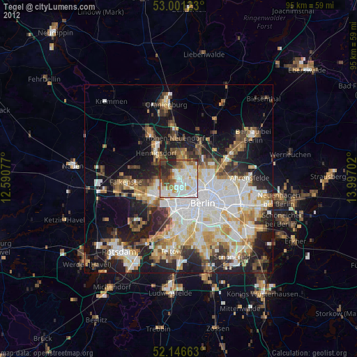
» Earth at Night: Flat Maps 2012, 2016