Reinickendorf night lights from space
Night Light of Reinickendorf (Berlin) from space (Germany) Src. Average luminocity for 10x10km area is 88.6918% and for 50x50km: 36.8655%.
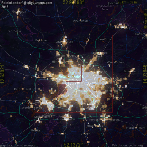
Analysis of Reinickendorf night lights 2016
Square area 10x10 km:
 42.72%
90-99
31.48%80-89
4.63%70-79
6.22%60-69
3.84%50-59
2.91%40-49
3.04%30-39
3.7%20-29
1.46%10-19
0%0-9
0%Square area 50x50 km:
10.89%90-99
9.37%80-89
3.61%70-79
2.86%60-69
3.13%50-59
3.33%40-49
3.86%30-39
4.27%20-29
8.41%10-19
13.08%0-9
37.19%Clear (daylight) street map image can be seen on geolist.org.
Map coordinates:
52° 59' 31.1" North, 12° 37' 48.8" East
52° 34' 0" North, 13° 19' 60" East
52° 8' 13.9" North, 14° 2' 11.3" East
Some cities around Reinickendorf sort by population:
• Gesundbrunnen
4.3 km =2.7 mi,  114°
114°
• Wedding
2.6 km =1.6 mi,  144°
144°
• Moabit
4.5 km =2.8 mi,  175°
175°
• Pankow
4.6 km =2.9 mi,  86°
86°
• Märkisches Viertel
3.9 km =2.4 mi,  24°
24°
• Tegel
2.9 km =1.8 mi,  291°
291°
• Wittenau
3.1 km =1.9 mi,  344°
344°
• Wilhelmsruh
3.3 km =2.1 mi,  46°
46°
2848756 (p: 75,414)
Sources (retrieved 2019-11-25):
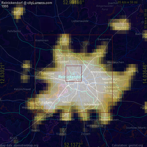
» NASA, Earths city lights 1995
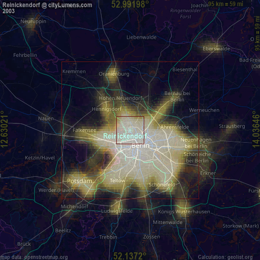
» NASA city lights 2003
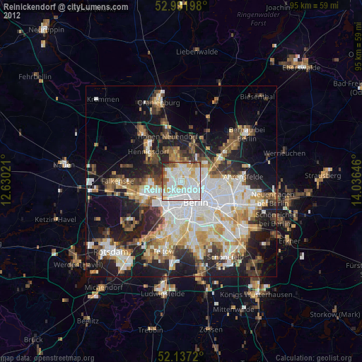
» Earth at Night: Flat Maps 2012, 2016