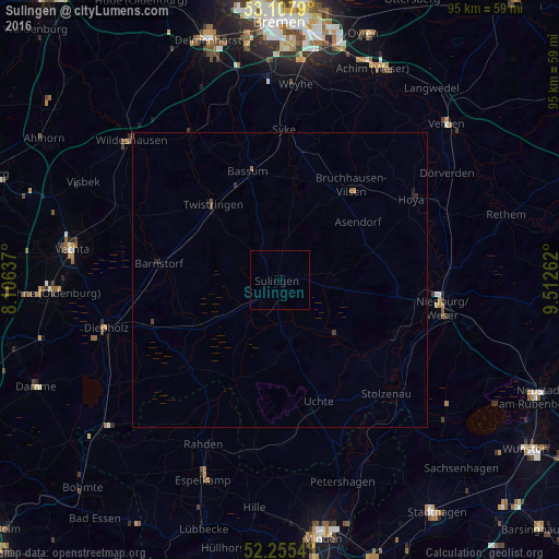
Sulingen night lights from space
Night Light of Sulingen (Lower Saxony) from space (Germany) Src. Average luminocity for 10x10km area is 0% and for 50x50km: 0.1286%.
Analysis of Sulingen night lights 2016
Square area 10x10 km:
 0%
0%90-99
0%80-89
0%70-79
0%60-69
0%50-59
0%40-49
0%30-39
0%20-29
0%10-19
0%0-9
100%Square area 50x50 km:
0%90-99
0%80-89
0%70-79
0.02%60-69
0.04%50-59
0.01%40-49
0.07%30-39
0.03%20-29
0.07%10-19
0.07%0-9
99.69%Clear (daylight) street map image can be seen on geolist.org.
Map coordinates:
53° 6' 28.4" North, 8° 6' 22.9" East
52° 41' 1.4" North, 8° 48' 34.2" East
52° 15' 19.4" North, 9° 30' 45.4" East
Some cities around Sulingen sort by population:
• Syke
25.6 km =15.9 mi,  1°
1°
• Bassum
19.3 km =12 mi,  343°
343°
• Twistringen
17.1 km =10.6 mi,  318°
318°
• Stolzenau
25.4 km =15.8 mi,  136°
136°
• Wagenfeld
21.3 km =13.2 mi,  225°
225°
• Bruchhausen-Vilsen
20.3 km =12.6 mi,  36°
36°
• Barnstorf
20.9 km =13 mi,  278°
278°
• Steyerberg
19.2 km =11.9 mi,  131°
131°
2824902 (p: 12,835)
Sources (retrieved 2019-11-25):
» Earth at Night: Flat Maps 2012, 2016