Barnstorf night lights from space
Night Light of Barnstorf (Lower Saxony) from space (Germany) Src. Average luminocity for 10x10km area is 0.2222% and for 50x50km: 0.9403%.
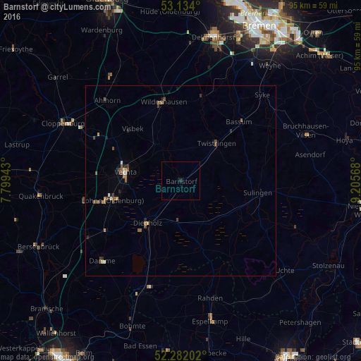
Analysis of Barnstorf night lights 2016
Square area 10x10 km:
 0%
0%90-99
0%80-89
0%70-79
0%60-69
0%50-59
0%40-49
0%30-39
0%20-29
0.51%10-19
0.51%0-9
98.99%Square area 50x50 km:
0.04%90-99
0.08%80-89
0.07%70-79
0.12%60-69
0.16%50-59
0.32%40-49
0.19%30-39
0.17%20-29
0.22%10-19
0.14%0-9
98.49%Clear (daylight) street map image can be seen on geolist.org.
Map coordinates:
53° 8' 2.4" North, 7° 47' 57.9" East
52° 42' 36.3" North, 8° 30' 9.2" East
52° 16' 55.3" North, 9° 12' 20.4" East
Some cities around Barnstorf sort by population:
• Vechta
14.7 km =9.1 mi,  277°
277°
• Lohne
18.5 km =11.5 mi,  254°
254°
• Diepholz
14.5 km =9 mi,  218°
218°
• Sulingen
20.9 km =13 mi,  98°
98°
• Twistringen
13.6 km =8.5 mi,  43°
43°
• Visbek
18.6 km =11.6 mi,  317°
317°
• Goldenstedt
9.9 km =6.2 mi,  331°
331°
• Wagenfeld
18.6 km =11.6 mi,  162°
162°
2952452 (p: 6,050)
Sources (retrieved 2019-11-25):
» Earth at Night: Flat Maps 2012, 2016