Stuttgart Feuerbach night lights from space
Night Light of Stuttgart Feuerbach (Baden-Württemberg) from space (Germany) Src. Average luminocity for 10x10km area is 80.2429% and for 50x50km: 28.5973%.
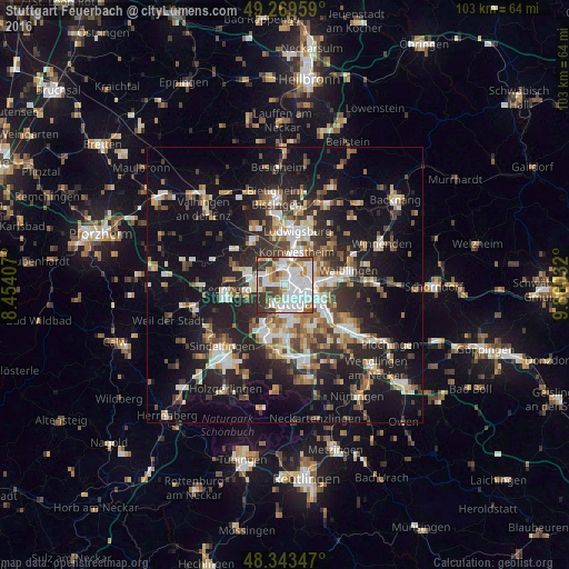
Analysis of Stuttgart Feuerbach night lights 2016
Square area 10x10 km:
 30.68%
90-99
26.42%80-89
5.4%70-79
6.68%60-69
7.24%50-59
3.98%40-49
8.24%30-39
10.65%20-29
0.71%10-19
0%0-9
0%Square area 50x50 km:
4.53%90-99
5.35%80-89
2.41%70-79
3.11%60-69
3.91%50-59
3.56%40-49
4.03%30-39
4.49%20-29
9.24%10-19
19.64%0-9
39.74%Clear (daylight) street map image can be seen on geolist.org.
Map coordinates:
49° 16' 10.5" North, 8° 27' 14.7" East
48° 48' 31.2" North, 9° 9' 25.9" East
48° 20' 36.5" North, 9° 51' 37.2" East
Some cities around Stuttgart Feuerbach sort by population:
• Ludwigsburg
10.2 km =6.3 mi,  14°
14°
• Fellbach
8.8 km =5.5 mi,  89°
89°
• Kornwestheim
6.2 km =3.9 mi,  19°
19°
• Ditzingen
6.9 km =4.3 mi,  286°
286°
• Gerlingen
7 km =4.3 mi,  261°
261°
• Korntal
3.7 km =2.3 mi,  314°
314°
• Schwieberdingen
9.7 km =6 mi,  321°
321°
• Möglingen
9 km =5.6 mi,  345°
345°
2927043 (p: 28,046)
Sources (retrieved 2019-11-25):
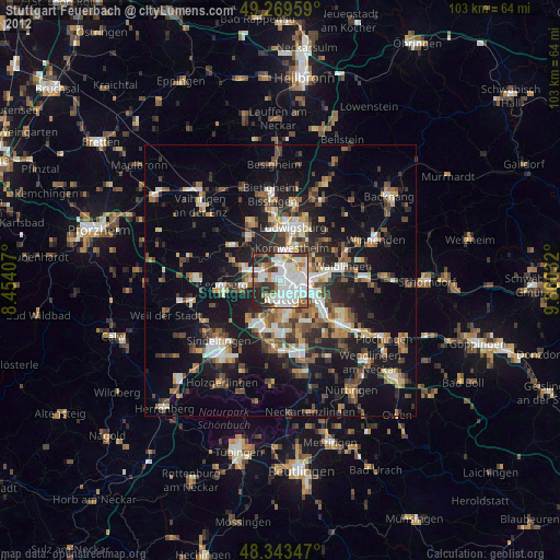
» Earth at Night: Flat Maps 2012, 2016