Fellbach night lights from space
Night Light of Fellbach (Baden-Württemberg) from space (Germany) Src. Average luminocity for 10x10km area is 60.8736% and for 50x50km: 27.7949%.
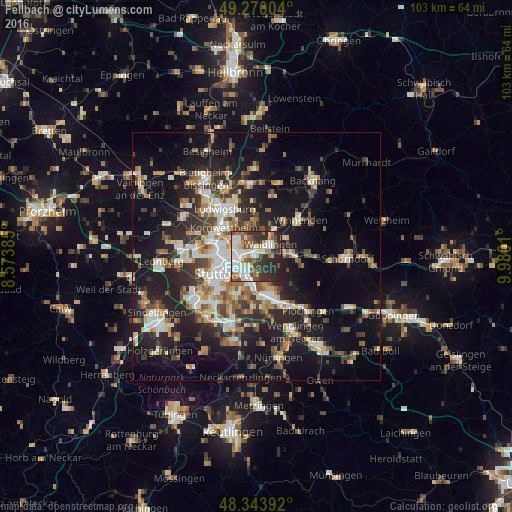
Analysis of Fellbach night lights 2016
Square area 10x10 km:
 16.34%
90-99
15.77%80-89
2.56%70-79
5.68%60-69
6.82%50-59
9.94%40-49
7.1%30-39
12.36%20-29
21.88%10-19
1.56%0-9
0%Square area 50x50 km:
4.39%90-99
5.19%80-89
2.33%70-79
3.11%60-69
3.82%50-59
3.6%40-49
3.97%30-39
4.29%20-29
9.28%10-19
18.22%0-9
41.81%Clear (daylight) street map image can be seen on geolist.org.
Map coordinates:
49° 16' 12.1" North, 8° 34' 25.9" East
48° 48' 32.8" North, 9° 16' 37.1" East
48° 20' 38.1" North, 9° 58' 48.4" East
Some cities around Fellbach sort by population:
• Stuttgart
7.9 km =4.9 mi,  247°
247°
• Esslingen
8 km =5 mi,  165°
165°
• Waiblingen
3.9 km =2.4 mi,  48°
48°
• Stuttgart-Ost
5.6 km =3.5 mi,  239°
239°
• Stuttgart Feuerbach
8.8 km =5.5 mi,  269°
269°
• Weinstadt-Endersbach
6.4 km =4 mi,  86°
86°
• Stuttgart Mühlhausen
5 km =3.1 mi,  317°
317°
• Korb
7.3 km =4.5 mi,  58°
58°
2927268 (p: 43,935)
Sources (retrieved 2019-11-25):
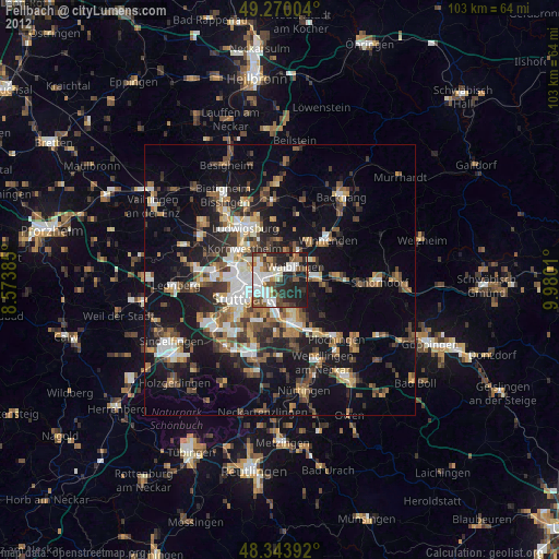
» Earth at Night: Flat Maps 2012, 2016