Kornwestheim night lights from space
Night Light of Kornwestheim (Baden-Württemberg) from space (Germany) Src. Average luminocity for 10x10km area is 74.1946% and for 50x50km: 28.081%.
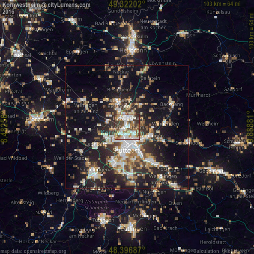
Analysis of Kornwestheim night lights 2016
Square area 10x10 km:
 19.74%
90-99
24.43%80-89
5.82%70-79
8.95%60-69
9.94%50-59
5.54%40-49
11.51%30-39
10.65%20-29
3.41%10-19
0%0-9
0%Square area 50x50 km:
4.56%90-99
5.27%80-89
2.43%70-79
3.13%60-69
3.81%50-59
3.59%40-49
4.03%30-39
4.29%20-29
9.16%10-19
18.11%0-9
41.63%Clear (daylight) street map image can be seen on geolist.org.
Map coordinates:
49° 19' 19.3" North, 8° 28' 57.2" East
48° 51' 41.7" North, 9° 11' 8.5" East
48° 23' 48.7" North, 9° 53' 19.7" East
Some cities around Kornwestheim sort by population:
• Ludwigsburg
4 km =2.5 mi,  6°
6°
• Stuttgart Feuerbach
6.2 km =3.9 mi,  199°
199°
• Stuttgart Mühlhausen
3.9 km =2.4 mi,  123°
123°
• Korntal
5.7 km =3.5 mi,  235°
235°
• Freiberg am Neckar
7.9 km =4.9 mi, 8°
• Asperg
6.1 km =3.8 mi,  322°
322°
• Schwieberdingen
8.3 km =5.2 mi,  281°
281°
• Möglingen
5.2 km =3.2 mi,  303°
303°
2885408 (p: 31,040)
Sources (retrieved 2019-11-25):
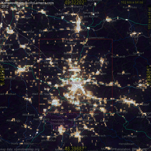
» Earth at Night: Flat Maps 2012, 2016