Ascheberg night lights from space
Night Light of Ascheberg (North Rhine-Westphalia) from space (Germany) Src. Average luminocity for 10x10km area is 1.2171% and for 50x50km: 12.2039%.
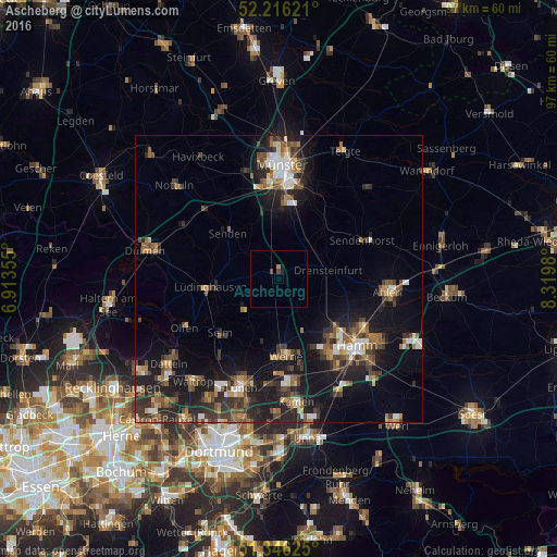
Analysis of Ascheberg night lights 2016
Square area 10x10 km:
 0%
0%90-99
0%80-89
0%70-79
0.42%60-69
0.14%50-59
0%40-49
1.12%30-39
0%20-29
0.28%10-19
0.84%0-9
97.2%Square area 50x50 km:
1.24%90-99
1.51%80-89
0.74%70-79
1.26%60-69
1.96%50-59
2.34%40-49
2.44%30-39
2.64%20-29
4.15%10-19
10.26%0-9
71.45%Clear (daylight) street map image can be seen on geolist.org.
Map coordinates:
52° 12' 58.4" North, 6° 54' 48.8" East
51° 46' 60" North, 7° 37' 0" East
51° 20' 46.5" North, 8° 19' 11.3" East
Some cities around Ascheberg sort by population:
• Hamm
18.1 km =11.2 mi,  129°
129°
• Werne
13.3 km =8.3 mi,  174°
174°
• Selm
14 km =8.7 mi,  226°
226°
• Lüdinghausen
12 km =7.5 mi,  262°
262°
• Senden
12.3 km =7.6 mi,  311°
311°
• Drensteinfurt
8.5 km =5.3 mi,  80°
80°
• Sendenhorst
16.1 km =10 mi,  65°
65°
• Nordkirchen
8.2 km =5.1 mi, 232°
2955224 (p: 15,184)
Sources (retrieved 2019-11-25):
» Earth at Night: Flat Maps 2012, 2016