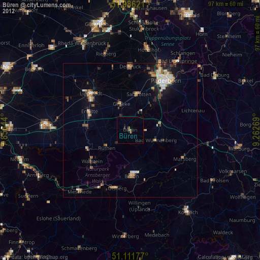
Büren night lights from space
Night Light of Büren (North Rhine-Westphalia) from space (Germany) Src. Average luminocity for 10x10km area is 1.5348% and for 50x50km: 4.1277%.
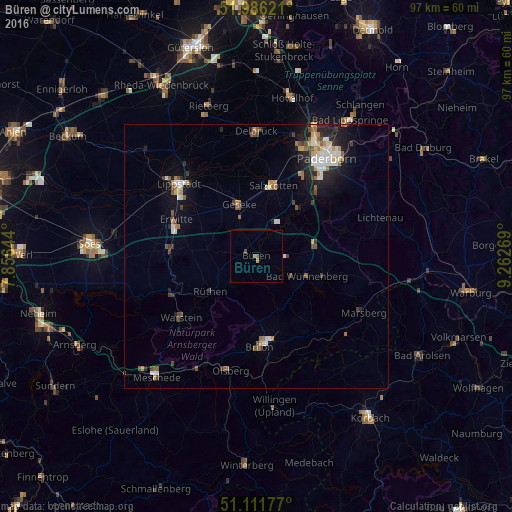
Analysis of Büren night lights 2016
Square area 10x10 km:
 0%
0%90-99
0%80-89
0%70-79
0.53%60-69
0.27%50-59
0.27%40-49
1.07%30-39
0%20-29
0%10-19
0%0-9
97.86%Square area 50x50 km:
0.56%90-99
0.72%80-89
0.35%70-79
0.48%60-69
0.53%50-59
0.6%40-49
0.61%30-39
0.51%20-29
1%10-19
2.36%0-9
92.29%Clear (daylight) street map image can be seen on geolist.org.
Map coordinates:
51° 59' 10.4" North, 7° 51' 23.2" East
51° 33' 3.9" North, 8° 33' 34.4" East
51° 6' 42.4" North, 9° 15' 45.7" East
Some cities around Büren sort by population:
• Warstein
18.8 km =11.7 mi,  231°
231°
• Brilon
17.4 km =10.8 mi,  177°
177°
• Salzkotten
13.7 km =8.5 mi,  12°
12°
• Geseke
10.5 km =6.5 mi,  341°
341°
• Erwitte
16.7 km =10.4 mi,  294°
294°
• Wünnenberg
10.3 km =6.4 mi,  109°
109°
• Rüthen
10.9 km =6.8 mi, 231°
• Anröchte
15.7 km =9.8 mi,  276°
276°
2941570 (p: 22,263)
Sources (retrieved 2019-11-25):
» Earth at Night: Flat Maps 2012, 2016