Erwitte night lights from space
Night Light of Erwitte (North Rhine-Westphalia) from space (Germany) Src. Average luminocity for 10x10km area is 8.5602% and for 50x50km: 3.5794%.
Analysis of Erwitte night lights 2016
Square area 10x10 km:
 0.8%
0.8%90-99
1.34%80-89
0.53%70-79
0.13%60-69
1.34%50-59
1.2%40-49
1.74%30-39
1.47%20-29
0.53%10-19
5.21%0-9
85.7%Square area 50x50 km:
0.25%90-99
0.28%80-89
0.35%70-79
0.43%60-69
0.65%50-59
0.68%40-49
0.76%30-39
0.51%20-29
0.48%10-19
1.53%0-9
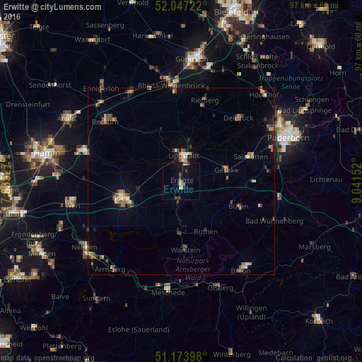
94.09%Clear (daylight) street map image can be seen on geolist.org.
Map coordinates:
52° 2' 50" North, 7° 38' 7" East
51° 36' 45.7" North, 8° 20' 18.2" East
51° 10' 26.3" North, 9° 2' 29.5" East
Some cities around Erwitte sort by population:
• Lippstadt
6.8 km =4.2 mi,  3°
3°
• Soest
16.6 km =10.3 mi,  255°
255°
• Büren
16.7 km =10.4 mi,  114°
114°
• Geseke
12.3 km =7.6 mi,  75°
75°
• Wadersloh
14.7 km =9.1 mi,  335°
335°
• Bad Sassendorf
12.3 km =7.6 mi,  254°
254°
• Rüthen
15.1 km =9.4 mi,  153°
153°
• Anröchte
5.1 km =3.2 mi,  183°
183°
2929247 (p: 16,081)
Sources (retrieved 2019-11-25):
» Earth at Night: Flat Maps 2012, 2016