Rösrath night lights from space
Night Light of Rösrath (North Rhine-Westphalia) from space (Germany) Src. Average luminocity for 10x10km area is 16.9748% and for 50x50km: 26.8819%.
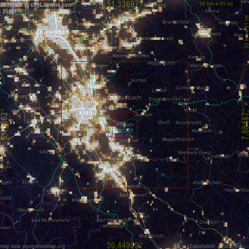
Analysis of Rösrath night lights 2016
Square area 10x10 km:
 3.08%
3.08%90-99
2.8%80-89
1.4%70-79
0%60-69
0.56%50-59
1.4%40-49
0.56%30-39
3.08%20-29
12.04%10-19
22.83%0-9
52.24%Square area 50x50 km:
5.5%90-99
5.78%80-89
2.58%70-79
2.6%60-69
3.77%50-59
3.79%40-49
3.96%30-39
5.87%20-29
7.05%10-19
7.18%0-9
51.91%Clear (daylight) street map image can be seen on geolist.org.
Map coordinates:
51° 20' 13.1" North, 6° 28' 43" East
50° 53' 44.1" North, 7° 10' 54.3" East
50° 26' 60" North, 7° 53' 5.5" East
Some cities around Rösrath sort by population:
• Troisdorf
9.9 km =6.2 mi,  193°
193°
• Lohmar
6.7 km =4.2 mi,  160°
160°
• Overath
8.3 km =5.2 mi,  60°
60°
• Porz am Rhein
8.7 km =5.4 mi,  263°
263°
• Ostheim
10.4 km =6.5 mi,  292°
292°
• Rath
7 km =4.3 mi,  296°
296°
• Eil
7.2 km =4.5 mi,  268°
268°
• Wahn-Heide
6.7 km =4.2 mi,  232°
232°
2844862 (p: 26,868)
Sources (retrieved 2019-11-25):
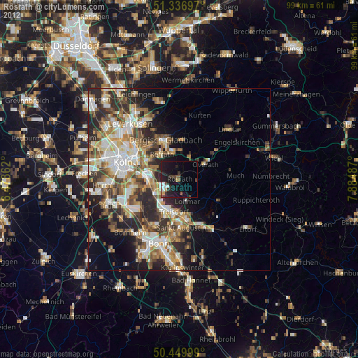
» Earth at Night: Flat Maps 2012, 2016