Overath night lights from space
Night Light of Overath (North Rhine-Westphalia) from space (Germany) Src. Average luminocity for 10x10km area is 4.084% and for 50x50km: 20.6522%.
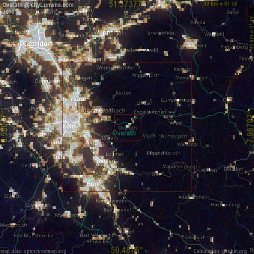
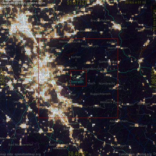
Analysis of Overath night lights 2016
Square area 10x10 km:
 0.28%
0.28%90-99
0.28%80-89
0%70-79
1.68%60-69
1.26%50-59
0.98%40-49
0%30-39
0%20-29
0.56%10-19
0.56%0-9
94.4%Square area 50x50 km:
4.17%90-99
4.13%80-89
1.94%70-79
1.95%60-69
2.83%50-59
3.27%40-49
2.9%30-39
4.65%20-29
5.51%10-19
6.62%0-9
62.02%Clear (daylight) street map image can be seen on geolist.org.
Map coordinates:
51° 22' 25.6" North, 6° 34' 50.8" East
50° 55' 57.9" North, 7° 17' 2" East
50° 29' 15" North, 7° 59' 13.3" East
Some cities around Overath sort by population:
• Bergisch Gladbach
12.1 km =7.5 mi,  299°
299°
• Lohmar
11.6 km =7.2 mi,  205°
205°
• Rösrath
8.3 km =5.2 mi,  240°
240°
• Lindlar
11.7 km =7.3 mi,  34°
34°
• Engelskirchen
11 km =6.8 mi,  55°
55°
• Kürten
13.1 km =8.1 mi,  354°
354°
• Much
9 km =5.6 mi,  111°
111°
• Rath
13.4 km =8.3 mi,  265°
265°
2855859 (p: 27,203)
Sources (retrieved 2019-11-25):
» Earth at Night: Flat Maps 2012, 2016