Rietberg night lights from space
Night Light of Rietberg (North Rhine-Westphalia) from space (Germany) Src. Average luminocity for 10x10km area is 2.7563% and for 50x50km: 8.241%.
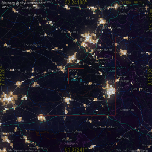
Analysis of Rietberg night lights 2016
Square area 10x10 km:
 0%
0%90-99
0%80-89
0%70-79
0.56%60-69
0.56%50-59
0.56%40-49
0.56%30-39
0.56%20-29
1.12%10-19
0%0-9
96.08%Square area 50x50 km:
0.99%90-99
1.25%80-89
0.74%70-79
0.88%60-69
1.11%50-59
1.27%40-49
1.24%30-39
0.86%20-29
2.23%10-19
6.05%0-9
83.38%Clear (daylight) street map image can be seen on geolist.org.
Map coordinates:
52° 14' 30.8" North, 7° 43' 31" East
51° 48' 33.3" North, 8° 25' 42.3" East
51° 22' 20.7" North, 9° 7' 53.5" East
Some cities around Rietberg sort by population:
• Gütersloh
11.4 km =7.1 mi,  342°
342°
• Lippstadt
16.1 km =10 mi,  200°
200°
• Rheda-Wiedenbrück
9.9 km =6.2 mi,  297°
297°
• Delbrück
10.4 km =6.5 mi,  118°
118°
• Verl
10.2 km =6.3 mi,  36°
36°
• Hövelhof
15.3 km =9.5 mi,  86°
86°
• Wadersloh
14.9 km =9.3 mi,  235°
235°
• Langenberg
8.6 km =5.3 mi, 241°
2846843 (p: 28,672)
Sources (retrieved 2019-11-25):
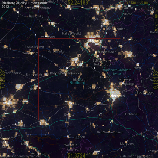
» Earth at Night: Flat Maps 2012, 2016