Gütersloh night lights from space
Night Light of Gütersloh (North Rhine-Westphalia) from space (Germany) Src. Average luminocity for 10x10km area is 26.928% and for 50x50km: 8.3947%.
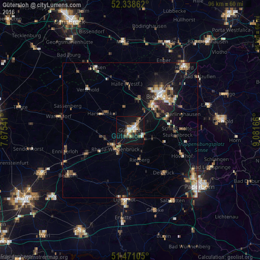
Analysis of Gütersloh night lights 2016
Square area 10x10 km:
 3.91%
3.91%90-99
4.67%80-89
1.64%70-79
3.16%60-69
3.91%50-59
4.17%40-49
4.29%30-39
1.26%20-29
3.54%10-19
37.12%0-9
32.32%Square area 50x50 km:
0.85%90-99
1.14%80-89
0.84%70-79
0.77%60-69
1.19%50-59
1.56%40-49
1.52%30-39
1.06%20-29
2.11%10-19
6.19%0-9
82.78%Clear (daylight) street map image can be seen on geolist.org.
Map coordinates:
52° 20' 19" North, 7° 40' 31.5" East
51° 54' 24.9" North, 8° 22' 42.7" East
51° 28' 15.8" North, 9° 4' 54" East
Some cities around Gütersloh sort by population:
• Bielefeld
17.6 km =10.9 mi,  37°
37°
• Rheda-Wiedenbrück
8.3 km =5.2 mi,  220°
220°
• Rietberg
11.4 km =7.1 mi,  162°
162°
• Harsewinkel
12 km =7.5 mi,  300°
300°
• Verl
9.8 km =6.1 mi,  105°
105°
• Halle
17.1 km =10.6 mi,  355°
355°
• Steinhagen
10.5 km =6.5 mi,  8°
8°
• Langenberg
15.6 km =9.7 mi,  195°
195°
2913366 (p: 96,180)
Sources (retrieved 2019-11-25):
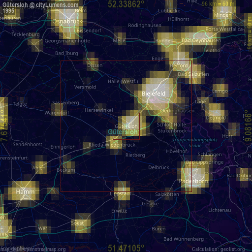
» NASA, Earths city lights 1995
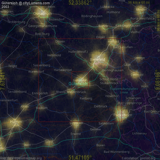
» NASA city lights 2003
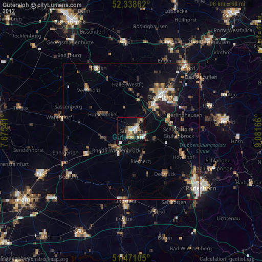
» Earth at Night: Flat Maps 2012, 2016