Rheda-Wiedenbrück night lights from space
Night Light of Rheda-Wiedenbrück (North Rhine-Westphalia) from space (Germany) Src. Average luminocity for 10x10km area is 13.2433% and for 50x50km: 7.3898%.
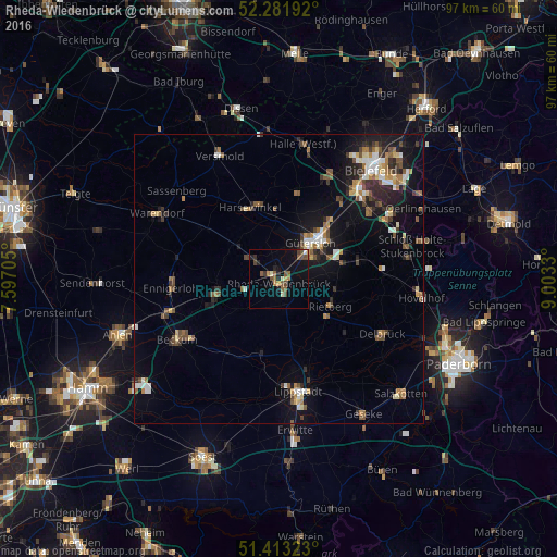
Analysis of Rheda-Wiedenbrück night lights 2016
Square area 10x10 km:
 0%
0%90-99
1.2%80-89
1.34%70-79
0.94%60-69
2.27%50-59
4.68%40-49
3.34%30-39
1.2%20-29
1.87%10-19
7.62%0-9
75.53%Square area 50x50 km:
0.79%90-99
0.9%80-89
0.71%70-79
0.69%60-69
1.15%50-59
1.29%40-49
1.38%30-39
0.93%20-29
1.76%10-19
5.19%0-9
85.22%Clear (daylight) street map image can be seen on geolist.org.
Map coordinates:
52° 16' 54.9" North, 7° 35' 49.4" East
51° 50' 58.8" North, 8° 18' 0.6" East
51° 24' 47.6" North, 9° 0' 11.9" East
Some cities around Rheda-Wiedenbrück sort by population:
• Gütersloh
8.3 km =5.2 mi,  40°
40°
• Oelde
10.8 km =6.7 mi,  257°
257°
• Rietberg
9.9 km =6.2 mi,  117°
117°
• Harsewinkel
13.5 km =8.4 mi,  338°
338°
• Verl
15.3 km =9.5 mi,  75°
75°
• Wadersloh
13.4 km =8.3 mi,  194°
194°
• Langenberg
8.7 km =5.4 mi,  171°
171°
• Beelen
15.7 km =9.8 mi,  304°
304°
2847690 (p: 46,123)
Sources (retrieved 2019-11-25):
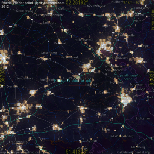
» Earth at Night: Flat Maps 2012, 2016