Rheinstetten night lights from space
Night Light of Rheinstetten (Baden-Württemberg) from space (Germany) Src. Average luminocity for 10x10km area is 27.9943% and for 50x50km: 16.4167%.
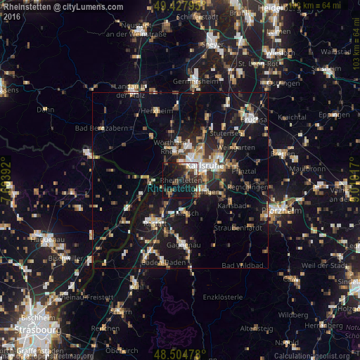
Analysis of Rheinstetten night lights 2016
Square area 10x10 km:
 3.55%
3.55%90-99
3.84%80-89
1.99%70-79
2.13%60-69
2.41%50-59
5.68%40-49
3.84%30-39
7.24%20-29
11.65%10-19
28.98%0-9
28.69%Square area 50x50 km:
1.81%90-99
2.38%80-89
1.47%70-79
1.89%60-69
1.93%50-59
2.22%40-49
2.39%30-39
2.64%20-29
3.96%10-19
16.91%0-9
62.39%Clear (daylight) street map image can be seen on geolist.org.
Map coordinates:
49° 25' 40.6" North, 7° 36' 14.1" East
48° 58' 6.6" North, 8° 18' 25.3" East
48° 30' 17.2" North, 9° 0' 36.6" East
Some cities around Rheinstetten sort by population:
• Karlsruhe
8.4 km =5.2 mi,  57°
57°
• Ettlingen
8 km =5 mi,  112°
112°
• Wörth am Rhein
9.6 km =6 mi,  338°
338°
• Malsch
9.7 km =6 mi,  168°
168°
• Durmersheim
4.9 km =3 mi,  217°
217°
• Muggensturm
11.5 km =7.1 mi,  188°
188°
• Bietigheim
7.7 km =4.8 mi,  211°
211°
• Hagenbach
6.8 km =4.2 mi,  322°
322°
6558039 (p: 20,378)
Sources (retrieved 2019-11-25):
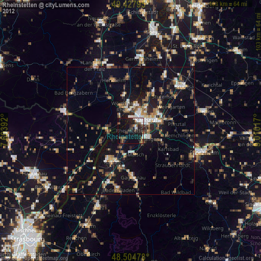
» Earth at Night: Flat Maps 2012, 2016