Ettlingen night lights from space
Night Light of Ettlingen (Baden-Württemberg) from space (Germany) Src. Average luminocity for 10x10km area is 29.8906% and for 50x50km: 17.7975%.
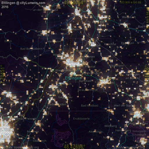
Analysis of Ettlingen night lights 2016
Square area 10x10 km:
 1.42%
1.42%90-99
3.55%80-89
2.84%70-79
2.84%60-69
4.26%50-59
6.11%40-49
3.41%30-39
11.93%20-29
17.76%10-19
25.71%0-9
20.17%Square area 50x50 km:
1.99%90-99
2.67%80-89
1.62%70-79
2.12%60-69
2.31%50-59
2.4%40-49
2.54%30-39
2.56%20-29
4.55%10-19
18.26%0-9
58.98%Clear (daylight) street map image can be seen on geolist.org.
Map coordinates:
49° 24' 2.3" North, 7° 42' 16.2" East
48° 56' 27.4" North, 8° 24' 27.5" East
48° 28' 37.1" North, 9° 6' 38.7" East
Some cities around Ettlingen sort by population:
• Karlsruhe
7.6 km =4.7 mi,  358°
358°
• Rheinstetten
8 km =5 mi,  292°
292°
• Malsch
8.4 km =5.2 mi,  220°
220°
• Durmersheim
10.3 km =6.4 mi,  265°
265°
• Königsbach-Stein
14.7 km =9.1 mi,  79°
79°
• Muggensturm
12.3 km =7.6 mi,  227°
227°
• Bietigheim
11.9 km =7.4 mi,  252°
252°
• Hagenbach
14.3 km =8.9 mi,  306°
306°
2928615 (p: 38,942)
Sources (retrieved 2019-11-25):
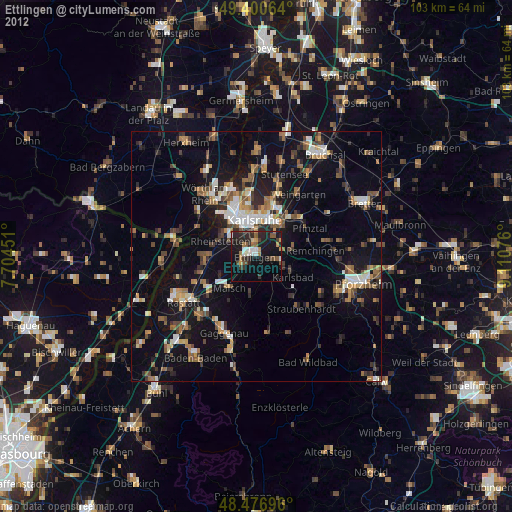
» Earth at Night: Flat Maps 2012, 2016