Rheinbach night lights from space
Night Light of Rheinbach (North Rhine-Westphalia) from space (Germany) Src. Average luminocity for 10x10km area is 12.3289% and for 50x50km: 13.7172%.
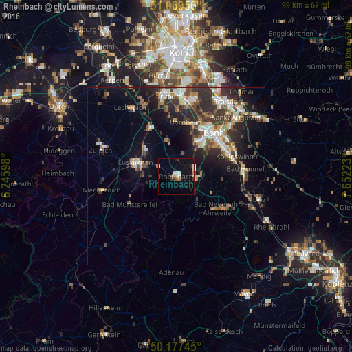
Analysis of Rheinbach night lights 2016
Square area 10x10 km:
 1.07%
1.07%90-99
3.21%80-89
0.67%70-79
0.4%60-69
2.27%50-59
1.47%40-49
0%30-39
1.6%20-29
1.34%10-19
9.76%0-9
78.21%Square area 50x50 km:
1.94%90-99
2.4%80-89
1.29%70-79
1.15%60-69
1.64%50-59
1.89%40-49
2.11%30-39
3.09%20-29
4.65%10-19
7.63%0-9
72.19%Clear (daylight) street map image can be seen on geolist.org.
Map coordinates:
51° 4' 10.4" North, 6° 14' 45.5" East
50° 37' 32.2" North, 6° 56' 56.8" East
50° 10' 38.8" North, 7° 39' 8" East
Some cities around Rheinbach sort by population:
• Bonn
15.9 km =9.9 mi,  40°
40°
• Euskirchen
12.1 km =7.5 mi,  288°
288°
• Bornheim
15.6 km =9.7 mi,  10°
10°
• Bad Neuenahr-Ahrweiler
14.7 km =9.1 mi,  128°
128°
• Meckenheim
5.7 km =3.5 mi,  91°
91°
• Alfter
12.9 km =8 mi,  21°
21°
• Wachtberg
10.7 km =6.6 mi, 85°
• Bad Münstereifel
15.1 km =9.4 mi,  239°
239°
2847666 (p: 26,262)
Sources (retrieved 2019-11-25):
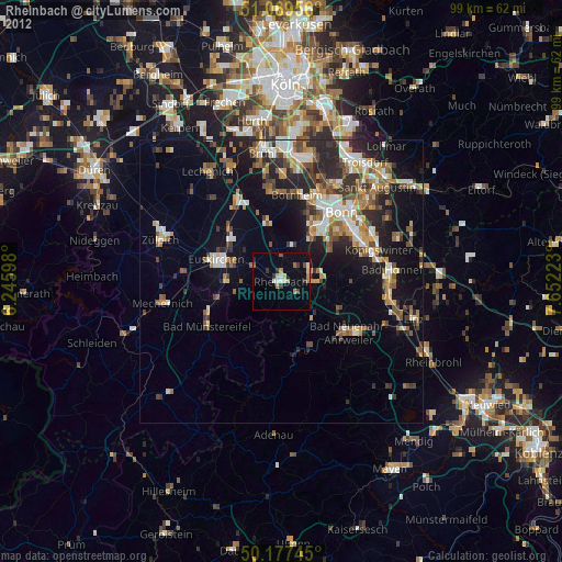
» Earth at Night: Flat Maps 2012, 2016