Euskirchen night lights from space
Night Light of Euskirchen (North Rhine-Westphalia) from space (Germany) Src. Average luminocity for 10x10km area is 18.7781% and for 50x50km: 14.0844%.
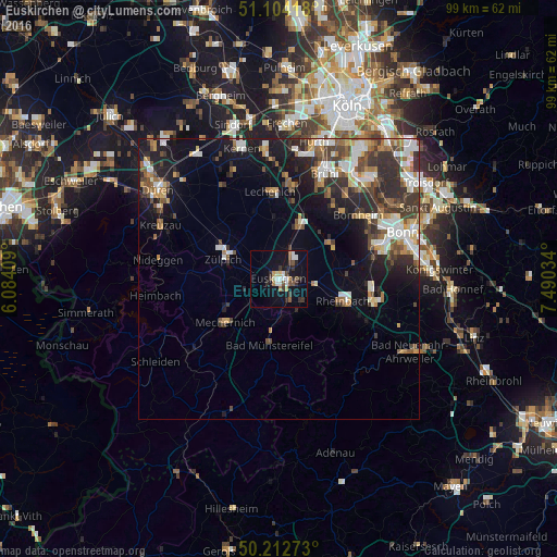
Analysis of Euskirchen night lights 2016
Square area 10x10 km:
 2.54%
2.54%90-99
3.61%80-89
1.34%70-79
0.67%60-69
2.54%50-59
2.14%40-49
2.94%30-39
4.01%20-29
3.74%10-19
17.65%0-9
58.82%Square area 50x50 km:
2.25%90-99
2.52%80-89
1.14%70-79
1.32%60-69
1.8%50-59
2.11%40-49
2.25%30-39
2.73%20-29
4.3%10-19
8.28%0-9
71.3%Clear (daylight) street map image can be seen on geolist.org.
Map coordinates:
51° 6' 15" North, 6° 5' 2.7" East
50° 39' 38.1" North, 6° 47' 14" East
50° 12' 45.8" North, 7° 29' 25.2" East
Some cities around Euskirchen sort by population:
• Erftstadt
17.2 km =10.7 mi,  1°
1°
• Mechernich
12.1 km =7.5 mi,  231°
231°
• Rheinbach
12.1 km =7.5 mi,  108°
108°
• Meckenheim
17.6 km =10.9 mi,  103°
103°
• Zulpich
10.1 km =6.3 mi,  291°
291°
• Bad Münstereifel
11.7 km =7.3 mi,  187°
187°
• Weilerswist
11.1 km =6.9 mi,  21°
21°
• Vettweiß
15.5 km =9.6 mi,  301°
301°
2928396 (p: 54,889)
Sources (retrieved 2019-11-25):
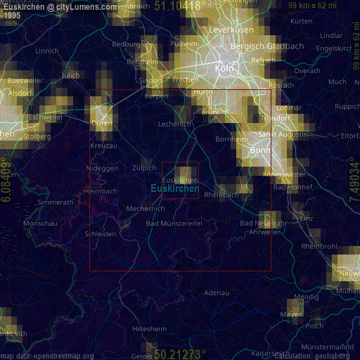
» NASA, Earths city lights 1995
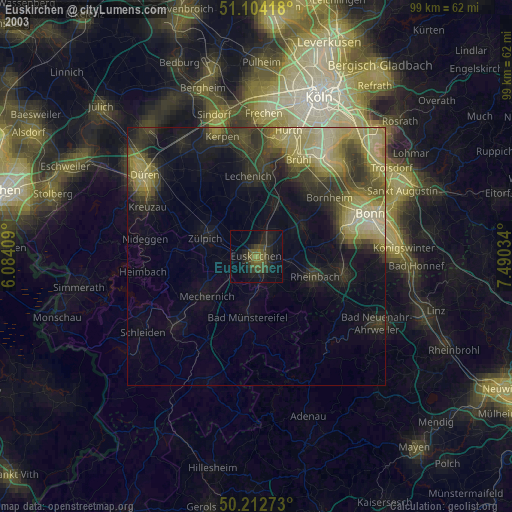
» NASA city lights 2003
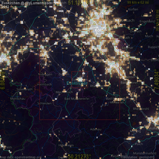
» Earth at Night: Flat Maps 2012, 2016