Harsewinkel night lights from space
Night Light of Harsewinkel (North Rhine-Westphalia) from space (Germany) Src. Average luminocity for 10x10km area is 2.8699% and for 50x50km: 6.3675%.
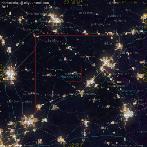
Analysis of Harsewinkel night lights 2016
Square area 10x10 km:
 0%
0%90-99
0%80-89
0.51%70-79
0.25%60-69
0.76%50-59
0.51%40-49
2.02%30-39
0%20-29
0.51%10-19
0%0-9
95.45%Square area 50x50 km:
0.6%90-99
0.84%80-89
0.61%70-79
0.53%60-69
0.99%50-59
1.12%40-49
1.37%30-39
0.86%20-29
1.65%10-19
4.27%0-9
87.16%Clear (daylight) street map image can be seen on geolist.org.
Map coordinates:
52° 23' 36.2" North, 7° 31' 28.3" East
51° 57' 44.1" North, 8° 13' 39.6" East
51° 31' 36.8" North, 8° 55' 50.8" East
Some cities around Harsewinkel sort by population:
• Gütersloh
12 km =7.5 mi,  120°
120°
• Rheda-Wiedenbrück
13.5 km =8.4 mi,  158°
158°
• Oelde
15.8 km =9.8 mi,  200°
200°
• Halle
14.2 km =8.8 mi,  39°
39°
• Versmold
10.1 km =6.3 mi,  329°
329°
• Steinhagen
12.5 km =7.8 mi,  70°
70°
• Sassenberg
13.2 km =8.2 mi,  284°
284°
• Beelen
8.8 km =5.5 mi,  245°
245°
2910278 (p: 24,207)
Sources (retrieved 2019-11-25):
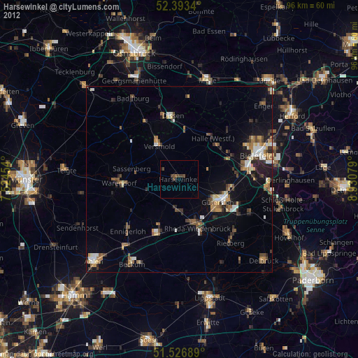
» Earth at Night: Flat Maps 2012, 2016