Renningen night lights from space
Night Light of Renningen (Baden-Württemberg) from space (Germany) Src. Average luminocity for 10x10km area is 22.8324% and for 50x50km: 25.415%.
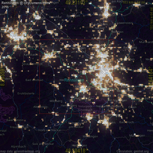
Analysis of Renningen night lights 2016
Square area 10x10 km:
 1.85%
1.85%90-99
3.69%80-89
3.27%70-79
1.14%60-69
1.7%50-59
2.98%40-49
2.7%30-39
2.56%20-29
7.53%10-19
40.2%0-9
32.39%Square area 50x50 km:
4.22%90-99
4.97%80-89
2.12%70-79
2.73%60-69
3.6%50-59
3.16%40-49
3.34%30-39
3.84%20-29
7.4%10-19
16.04%0-9
48.59%Clear (daylight) street map image can be seen on geolist.org.
Map coordinates:
49° 13' 51.7" North, 8° 14' 8.1" East
48° 46' 11.1" North, 8° 56' 19.4" East
48° 18' 15" North, 9° 38' 30.6" East
Some cities around Renningen sort by population:
• Sindelfingen
9.6 km =6 mi,  143°
143°
• Leonberg
6.6 km =4.1 mi,  59°
59°
• Weil der Stadt
5.4 km =3.4 mi,  245°
245°
• Rutesheim
4.3 km =2.7 mi,  6°
6°
• Magstadt
3.5 km =2.2 mi, 143°
• Weissach
8.6 km =5.3 mi,  354°
354°
• Grafenau
6.5 km =4 mi,  197°
197°
• Heimsheim
6.6 km =4.1 mi,  308°
308°
2848175 (p: 17,442)
Sources (retrieved 2019-11-25):
» Earth at Night: Flat Maps 2012, 2016