Leonberg night lights from space
Night Light of Leonberg (Baden-Württemberg) from space (Germany) Src. Average luminocity for 10x10km area is 33.8409% and for 50x50km: 27.8535%.
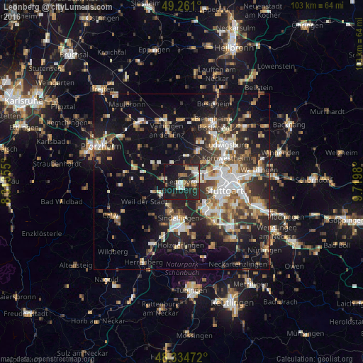
Analysis of Leonberg night lights 2016
Square area 10x10 km:
 4.83%
4.83%90-99
7.95%80-89
1.99%70-79
2.27%60-69
3.55%50-59
3.27%40-49
2.41%30-39
3.13%20-29
20.6%10-19
44.46%0-9
5.54%Square area 50x50 km:
4.45%90-99
5.26%80-89
2.28%70-79
3.1%60-69
3.94%50-59
3.53%40-49
3.71%30-39
4.48%20-29
9.03%10-19
17.58%0-9
42.63%Clear (daylight) street map image can be seen on geolist.org.
Map coordinates:
49° 15' 39.6" North, 8° 18' 48.8" East
48° 48' 0" North, 9° 1' 0" East
48° 20' 5" North, 9° 43' 11.3" East
Some cities around Leonberg sort by population:
• Ditzingen
4.7 km =2.9 mi,  51°
51°
• Gerlingen
3.4 km =2.1 mi,  90°
90°
• Korntal
8.5 km =5.3 mi,  64°
64°
• Renningen
6.6 km =4.1 mi,  239°
239°
• Rutesheim
5.3 km =3.3 mi,  279°
279°
• Magstadt
7.2 km =4.5 mi,  210°
210°
• Weissach
8.3 km =5.2 mi,  308°
308°
• Hemmingen
7.5 km =4.7 mi,  9°
9°
2878695 (p: 45,711)
Sources (retrieved 2019-11-25):
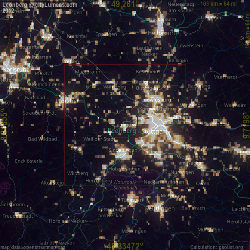
» Earth at Night: Flat Maps 2012, 2016