Herten night lights from space
Night Light of Herten (North Rhine-Westphalia) from space (Germany) Src. Average luminocity for 10x10km area is 63.0348% and for 50x50km: 37.9364%.
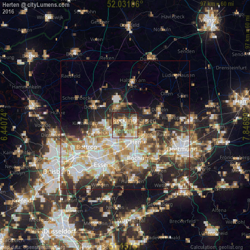
Analysis of Herten night lights 2016
Square area 10x10 km:
 9.49%
9.49%90-99
13.1%80-89
6.55%70-79
9.89%60-69
13.77%50-59
15.64%40-49
10.43%30-39
7.22%20-29
13.5%10-19
0.4%0-9
0%Square area 50x50 km:
7.72%90-99
8.18%80-89
4.5%70-79
5%60-69
5.88%50-59
5.66%40-49
4.38%30-39
5.52%20-29
8.74%10-19
9.12%0-9
35.3%Clear (daylight) street map image can be seen on geolist.org.
Map coordinates:
52° 1' 51.8" North, 6° 26' 26.7" East
51° 35' 47" North, 7° 8' 37.9" East
51° 9' 27" North, 7° 50' 49.2" East
Some cities around Herten sort by population:
• Bochum-Hordel
10.8 km =6.7 mi,  168°
168°
• Gelsenkirchen
10.7 km =6.6 mi,  197°
197°
• Herne
8.5 km =5.3 mi,  138°
138°
• Recklinghausen
4.2 km =2.6 mi,  62°
62°
• Marl
7.7 km =4.8 mi,  331°
331°
• Castrop-Rauxel
12.4 km =7.7 mi,  110°
110°
• Gladbeck
11.3 km =7 mi,  255°
255°
• Oer-Erkenschwick
9.8 km =6.1 mi, 58°
2905560 (p: 65,306)
Sources (retrieved 2019-11-25):
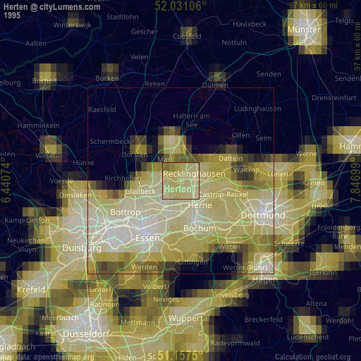
» NASA, Earths city lights 1995
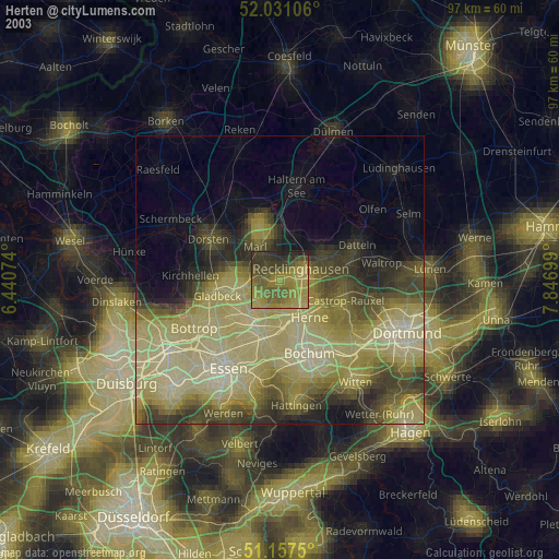
» NASA city lights 2003
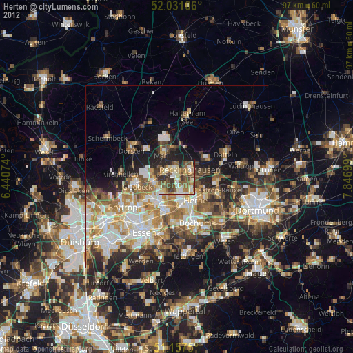
» Earth at Night: Flat Maps 2012, 2016