Auerbach night lights from space
Night Light of Auerbach (Saxony) from space (Germany) Src. Average luminocity for 10x10km area is 3.7661% and for 50x50km: 4.732%.
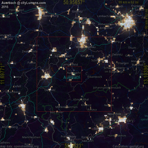
Analysis of Auerbach night lights 2016
Square area 10x10 km:
 0%
0%90-99
0.56%80-89
0%70-79
0.7%60-69
0.42%50-59
1.26%40-49
0.98%30-39
1.54%20-29
0.42%10-19
0.28%0-9
93.84%Square area 50x50 km:
0.56%90-99
0.66%80-89
0.56%70-79
0.76%60-69
0.63%50-59
0.66%40-49
0.64%30-39
0.54%20-29
0.4%10-19
2.46%0-9
92.14%Clear (daylight) street map image can be seen on geolist.org.
Map coordinates:
50° 57' 23.7" North, 11° 41' 51.8" East
50° 30' 41.6" North, 12° 24' 3" East
50° 3' 44.3" North, 13° 6' 14.3" East
Some cities around Auerbach sort by population:
• Reichenbach/Vogtland
14.2 km =8.8 mi,  330°
330°
• Falkenstein
4.3 km =2.7 mi,  209°
209°
• Kirchberg
15.1 km =9.4 mi,  35°
35°
• Treuen
7.7 km =4.8 mi,  296°
296°
• Lengenfeld
6.9 km =4.3 mi,  338°
338°
• Rodewisch
2.3 km =1.4 mi,  22°
22°
• Eibenstock
14.2 km =8.8 mi,  97°
97°
• Schönheide
8.6 km =5.3 mi, 95°
2954602 (p: 21,358)
Sources (retrieved 2019-11-25):
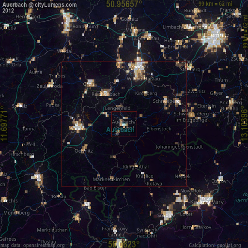
» Earth at Night: Flat Maps 2012, 2016