Kürten night lights from space
Night Light of Kürten (North Rhine-Westphalia) from space (Germany) Src. Average luminocity for 10x10km area is 0.5214% and for 50x50km: 23.0449%.
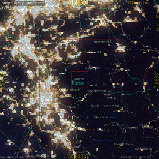
Analysis of Kürten night lights 2016
Square area 10x10 km:
 0%
0%90-99
0%80-89
0%70-79
0%60-69
0%50-59
0%40-49
0%30-39
0%20-29
1.47%10-19
0.13%0-9
98.4%Square area 50x50 km:
4.19%90-99
4.48%80-89
2.07%70-79
2.82%60-69
3.45%50-59
3.56%40-49
3.39%30-39
4.43%20-29
7.03%10-19
7.87%0-9
56.72%Clear (daylight) street map image can be seen on geolist.org.
Map coordinates:
51° 29' 23.7" North, 6° 33' 48.8" East
51° 3' 0" North, 7° 16' 0" East
50° 36' 21.1" North, 7° 58' 11.3" East
Some cities around Kürten sort by population:
• Bergisch Gladbach
11.8 km =7.3 mi,  232°
232°
• Wermelskirchen
10.6 km =6.6 mi,  340°
340°
• Wipperfürth
11.8 km =7.3 mi,  51°
51°
• Lindlar
8.5 km =5.3 mi,  113°
113°
• Engelskirchen
12.4 km =7.7 mi,  123°
123°
• Burscheid
11.3 km =7 mi,  289°
289°
• Hückeswagen
12.4 km =7.7 mi,  26°
26°
• Odenthal
10.6 km =6.6 mi,  259°
259°
2882318 (p: 20,103)
Sources (retrieved 2019-11-25):
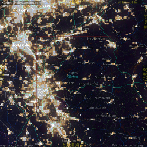
» Earth at Night: Flat Maps 2012, 2016