Bergisch Gladbach night lights from space
Night Light of Bergisch Gladbach (North Rhine-Westphalia) from space (Germany) Src. Average luminocity for 10x10km area is 33.1684% and for 50x50km: 31.6426%.
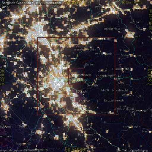
Analysis of Bergisch Gladbach night lights 2016
Square area 10x10 km:
 1.6%
1.6%90-99
3.48%80-89
3.61%70-79
4.28%60-69
6.95%50-59
6.82%40-49
5.35%30-39
11.23%20-29
13.64%10-19
22.06%0-9
20.99%Square area 50x50 km:
6.09%90-99
6.51%80-89
2.89%70-79
3.54%60-69
4.59%50-59
4.63%40-49
4.83%30-39
7.46%20-29
8.72%10-19
9.04%0-9
41.7%Clear (daylight) street map image can be seen on geolist.org.
Map coordinates:
51° 25' 34" North, 6° 25' 47.5" East
50° 59' 8.2" North, 7° 7' 58.7" East
50° 32' 27.1" North, 7° 50' 10" East
Some cities around Bergisch Gladbach sort by population:
• Mülheim
9.3 km =5.8 mi,  256°
256°
• Kalk
10.2 km =6.3 mi,  240°
240°
• Odenthal
5.4 km =3.4 mi,  347°
347°
• Buchheim
8.7 km =5.4 mi, 244°
• Höhenberg
8.7 km =5.4 mi,  227°
227°
• Ostheim
8.7 km =5.4 mi, 225°
• Rath
7.4 km =4.6 mi,  202°
202°
• Buchforst
9.7 km =6 mi,  246°
246°
2950349 (p: 106,184)
Sources (retrieved 2019-11-25):
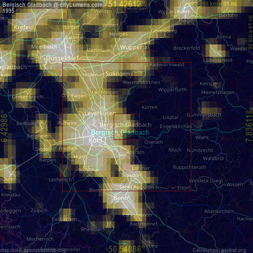
» NASA, Earths city lights 1995
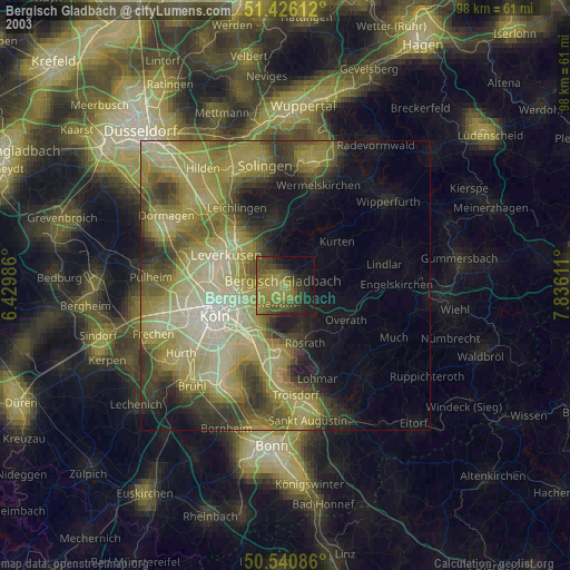
» NASA city lights 2003
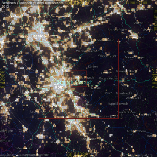
» Earth at Night: Flat Maps 2012, 2016